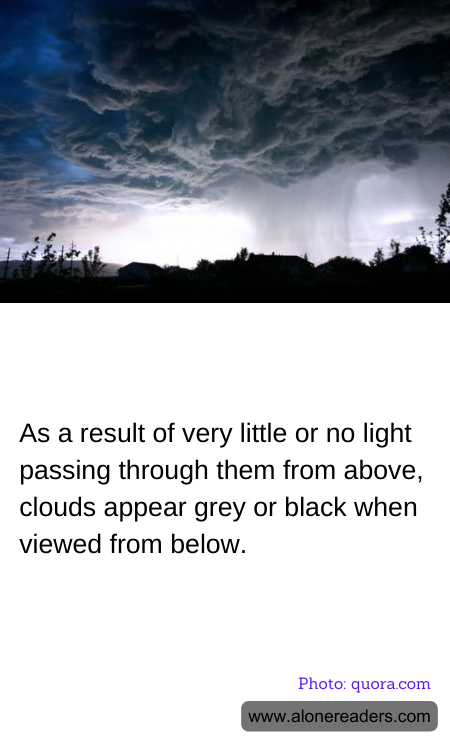
When looking up at the sky, you may often notice that clouds can appear grey or black, particularly on overcast or stormy days. This change in color from the often white, fluffy clouds we see is predominantly due to the way light interacts with the water droplets or ice crystals that make up these clouds. Clouds are formed when water vapor rises into the air and cools, condensing into water droplets or freezing into ice crystals, depending on the temperature. The density and thickness of these clouds can significantly affect their appearance.
In simpler terms, clouds appear white when they are relatively thin, and the sunlight is able to pass through while scattering all colors equally. This scattering is known as Mie scattering and is responsible for the white hue of clouds. In contrast, when clouds are dense and thick, they possess a high concentration of water droplets or ice crystals, which absorb more light. This absorption process prevents light from penetrating through the cloud effectively.
When minimal light passes through the clouds, the less the light is scattered, and as a result, these dense clouds appear darker from below. This is especially true for storm clouds, such as cumulonimbus clouds, which are very thick and can reach high altitudes; they often appear black or dark grey. The thickness and high density of these clouds block and absorb most of the sunlight, allowing very little to pass through, thereby giving them their dark appearance.
This visual phenomenon not only contributes to the dramatic scenery we associate with stormy weather but also plays a critical role in the natural water cycle, as these dark, thick clouds often precede precipitation. Hence, the color of clouds, from white to varying shades of grey and black, essentially provides clues about their composition, depth, and the weather they might bring. Understanding these signals can be particularly important in meteorology for weather forecasting and prediction.