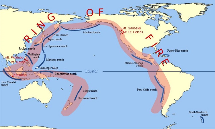
The Ring of Fire, also referred to as the Pacific Ring of Fire or Circum-Pacific Belt, is a region along the Pacific Ocean marked by active volcanoes and frequent earthquakes. It is roughly 40,000 kilometers long (24,900 miles). The Pacific, Juan de Fuca, Cocos, Indian-Australian, Nazca, North American, and Philippine Plates are among the tectonic plates whose boundaries it traces.
The Ring of Fire is not a single geological structure. Volcanic eruptions and earthquakes in each part of the Ring of Fire occur independently of eruptions and earthquakes in the other parts of the Ring. More than 450 volcanoes, or 75% of all volcanoes on Earth, are found along the Ring of Fire. The majority of the planet's earthquakes, including the most severe and dramatic seismic occurrences, happen along its course.
The movement, collision, and destruction of lithospheric plates (such the Pacific Plate) beneath and surrounding the Pacific Ocean are directly responsible for the formation of the Ring of Fire. A seemingly endless series of subduction zones, where volcanoes are formed and earthquakes take place, have been produced by the collisions. Oceanic trenches, volcanic arcs, back-arc basins, and volcanic belts have all been created as a result of the consumption of oceanic lithosphere along these convergent plate borders.
There are belts of ancient extinct volcanoes in the Ring of Fire that were generated long ago by subduction, just as the currently active and dormant volcanoes; the extinct volcanoes' final eruption occurred many thousands or millions of years ago. Subduction has been happening in some areas of the Ring of Fire for much longer than the Ring of Fire itself, which has been around for more than 35 million years.
Ojos del Salado (6,893 m or 22,615 ft), which is in the Andes Mountains region of the Ring of Fire, is the highest active volcano in the world. Its most recent eruption occurred in AD 750, and it is a part of the border between Chile and Argentina. Llullaillaco (6,739 m or 22,110 ft), another Andean volcano in the Ring of Fire, is located on the boundary between Argentina and Chile. It is the highest historically active volcano in the world and last erupted in 1877. About 76% of the Earth's seismic energy is released as earthquakes in the Ring of Fire. About 90% of the Earth's earthquakes and about 81% of the world's largest earthquakes occur along the Ring of Fire.
The four largest volcanic eruptions on Earth in the Holocene Epoch (the last 11,700 years) occurred at volcanoes in the Ring of Fire. They are the eruptions at Fisher Caldera (Alaska, 8700 BC), Kuril Lake (Kamchatka, 6450 BC), Kikai Caldera (Japan, 5480 BC) and Mount Mazama (Oregon, 5677 BC). More broadly, twenty of the twenty-five largest volcanic eruptions on Earth in this time interval occurred at Ring of Fire volcanoes.
From 1900 to the end of 2020, most earthquakes of magnitude Mw ≥ 8.0 occurred in the Ring of Fire. They are presumed to have been megathrust earthquakes at subduction zones, including four of the most powerful earthquakes on Earth since modern seismological measuring equipment and magnitude measurement scales were introduced in the 1930s:

October 25, 2023

January 02, 2025
 Top 10 Highest-Paid Professions in the United States (2025): Salaries, Roles, and Career Paths
 Top 10 Largest U.S. Companies by Revenue in 2025 (Fortune 500 Analysis)
 Top 10 Highest-Earning Global Tech Companies in 2025: Revenue, Strategy, and Market Power
 Top 10 Highest-Earning Mobile Apps in 2025: Revenue, Monetization, and Market Dominance
 ZombieAgent: Inside the Zero-Click AI Attack That Turns ChatGPT Agents into Persistent Data-Leaking Zombies
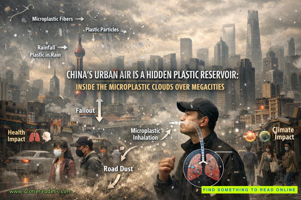 China’s Urban Air Is a Hidden Plastic Reservoir: Inside the Microplastic Clouds Over Megacities
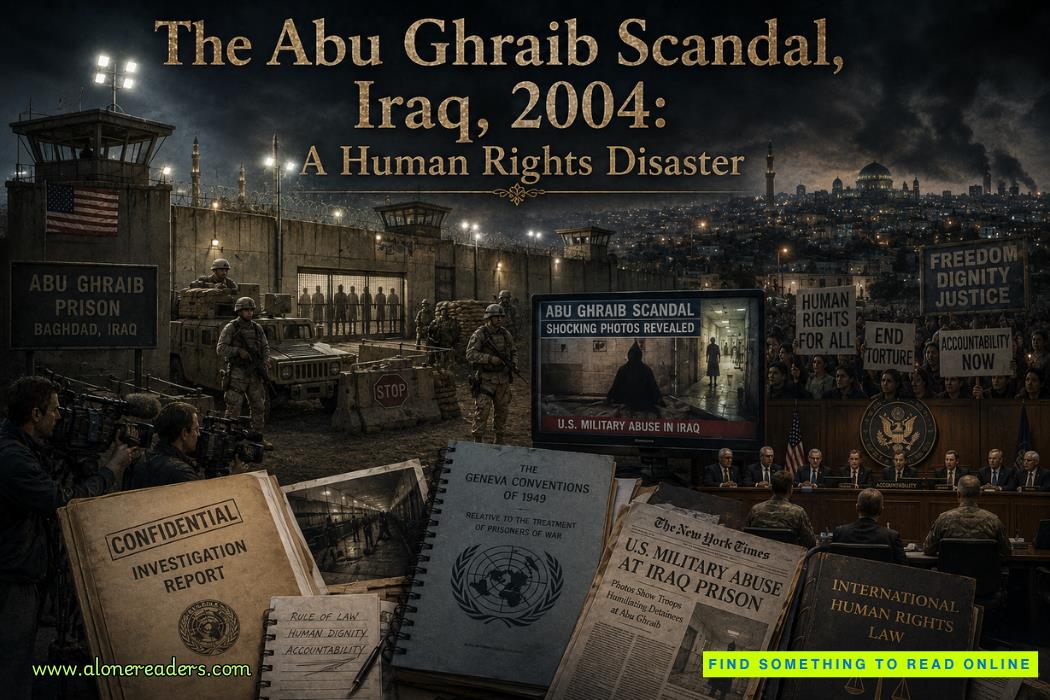 The Abu Ghraib Scandal, Iraq, 2004: A Human Rights Disaster That Shook the World
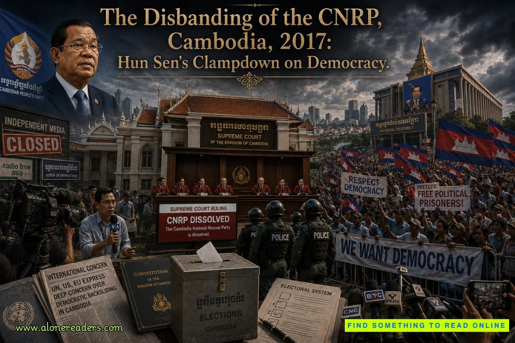 The Disbanding of the CNRP, Cambodia, 2017: Hun Sen's Clampdown on Democracy and the Reshaping of Cambodian Politics
 The Firing of James Comey, United States, 2017: Trump's Controversial Decision Amid FBI Investigation
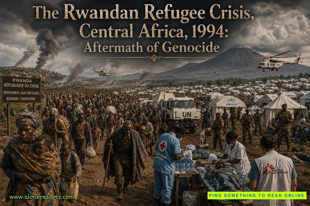 The Rwandan Refugee Crisis, Central Africa, 1994: Aftermath of Genocide and the Humanitarian Catastrophe
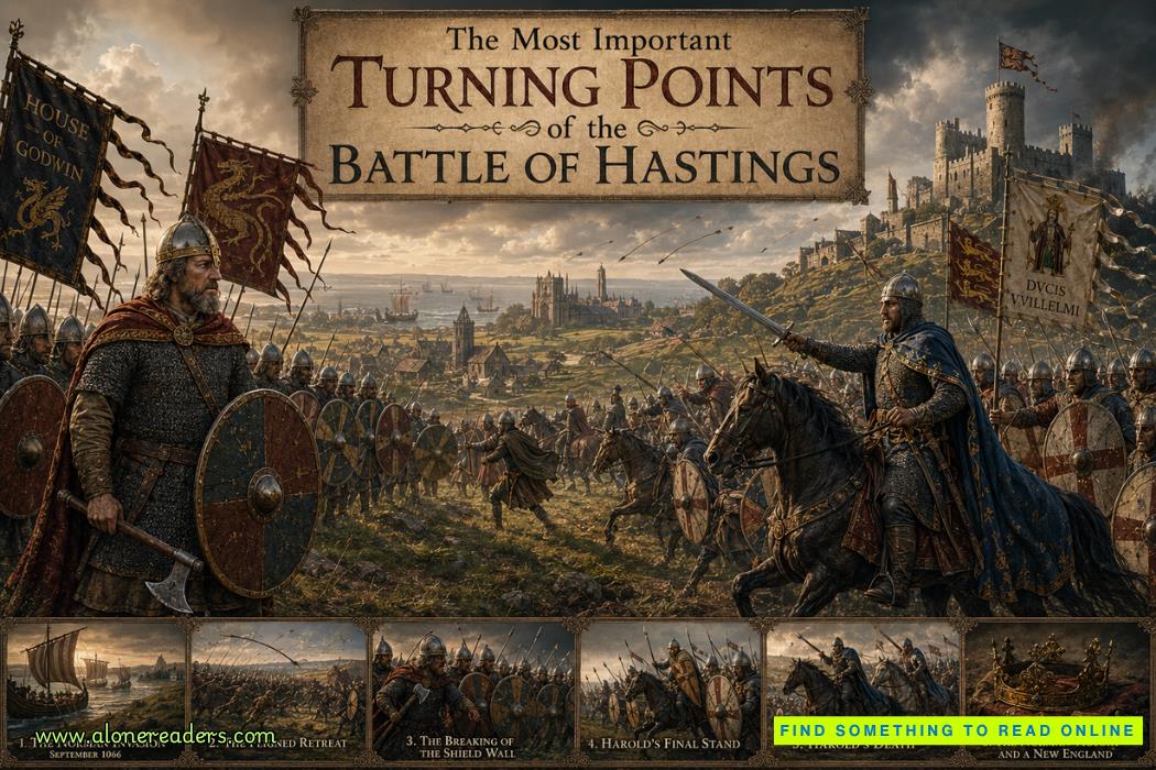 The Most Important Turning Points of the Battle of Hastings (1066)
 Why William Won the Battle of Hastings and Harold Lost: Strategy, Leadership and Fate in 1066
 How King Harold II Died: Facts, Myths, and Historical Debate
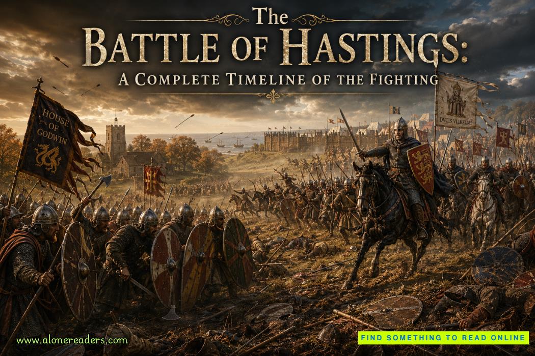 The Battle of Hastings: A Complete Timeline of the Fighting
 High-End Talent Category A Work Permit China 2026: Complete Eligibility, Benefits, Application Process, and Expert Guide
 Cultural Activities Visa Japan 2026 Guide: Complete Eligibility, Requirements, Application Process, and Expert Tips