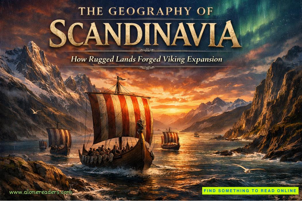
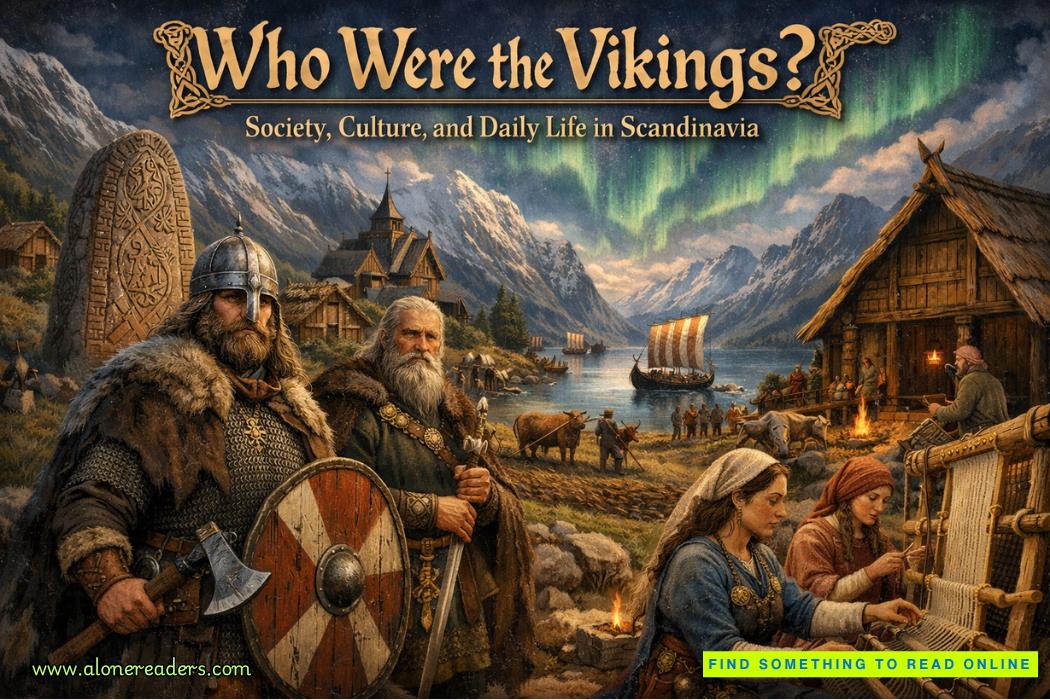
Scandinavia is one of those regions where land and sea conspired to create explorers. The contours of its mountains, lakes, and endless coastline were not simply backdrop—they became the decisive architecture of ambition that drove the Viking world outward. When one imagines the Viking Age between the late eighth and eleventh centuries, the mind often leaps toward raids and sagas. Yet behind every voyage stood the geography that made those journeys almost inevitable.
Stretching across what is now Norway, Sweden, and Denmark, Scandinavia in the early medieval period was a cold, uneven, and heavily forested domain. Norway’s narrow fjords, Sweden’s thick woodlands, and Denmark’s fertile lowlands each created distinct local societies. But the common denominator was scarcity and separation. Rugged terrain meant limited cultivable land. Harsh winters restricted crop cycles. Distance between valleys or coastal settlements discouraged centralized rule. From these conditions emerged a culture of adaptation—people who looked outward to the sea as both road and resource.
In Norway, the mountainous spine of the land dropped steeply into the ocean, forming the famous fjords—natural harbors deeply carved by glacial motion. Settlements clung to these thin strips where soil allowed only minimal agriculture. Overland travel was arduous, often made impossible by snow and elevation. The sea, by contrast, offered mobility. Fishermen and traders became accustomed to reading tides and currents. Navigating the coast was survival, not adventure, and this everyday seafaring expertise laid the foundation for long-distance voyages. The fjord served as both anchor and launchpad: secure enough for shelter, yet open enough to encourage departure toward unknown horizons.
Sweden’s geography told a slightly different story. Its heartland was dominated by dense forests, freshwater lakes, and sprawling river systems that stretched eastward toward the Baltic. These waterways acted like arteries connecting inland communities to distant coasts. Swedish Vikings, the so-called Varangians, developed boat designs adapted for river travel—long, narrow craft capable of portaging between channels. Their routes through Lake Mälaren and the Gulf of Finland would gradually pull them toward the rivers of Eastern Europe. Along these paths they established trading settlements, reaching Novgorod, Kiev, and eventually Constantinople itself. Here geography did not imprison—it invited. Rivers acted as bridges across empires, and the Swedish mastery of inland navigation transformed Scandinavian isolation into continental influence.
Denmark, meanwhile, stood on the crossroads of northern Europe. Its gently rolling terrain and abundant farmland supported relatively denser populations than its neighbors. Yet Denmark’s peninsulas and islands granted unparalleled access to the North Sea and the Baltic. Danish Vikings became the pioneers of ship-based expansions westward—toward England, Ireland, and the Frankish coasts. Their proximity to wider Europe allowed them to interact and compete with neighboring civilizations, leading to the development of fortified trade hubs like Hedeby and Ribe. Geography positioned Denmark as the hinge between the European continent and the Nordic world, a mediation zone from which ships could strike out in almost any direction.
Scandinavia’s fragmented topography thus bred independence and ingenuity. Communities grew small and self-reliant, and there was little room for large-scale centralized authority. The absence of vast arable plains meant that surplus agriculture—so crucial for empire-building elsewhere—was rare. Instead, wealth had to be found beyond home shores. Timber, fish, iron, and furs became export goods; in exchange, Vikings sought silver, textiles, and prestige abroad. The environment’s refusal to provide comfort became the silent engine of exploration. Facing limited domestic opportunity, ambitious Norsemen looked outward toward trade and conquest.
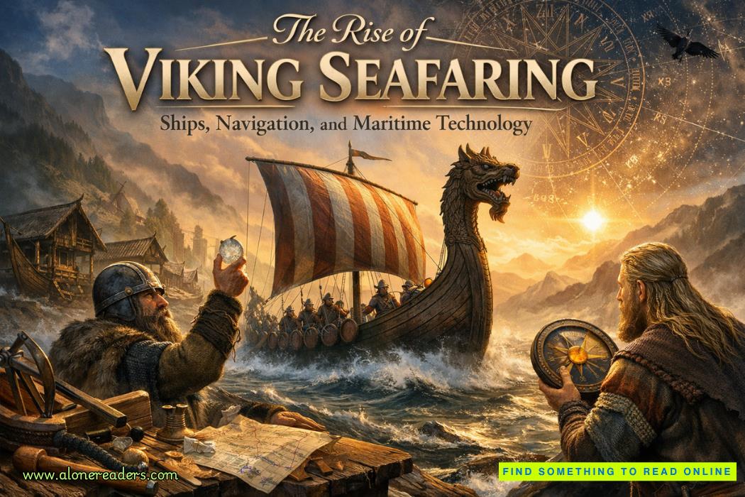
It is no accident that the Viking ship became the signature technology of the age. Its form was an environmental response—light enough for shallow rivers, strong enough for open seas, flexible enough for swift coastal raids. The wood came from Scandinavian forests; the shape was tested along its coastlines. Geography taught shipbuilders through constant challenge. They learned to harness wind against the narrow channels and to balance structure for endurance. The longship was not simply a weapon of war—it was an artifact of geography. Without the fjords and the seas, without the need to traverse scattered islands and rivers, such perfection of naval design would never have emerged.
Climate played its role as well. The northern atmosphere, with its long winters and short summers, forced strict patterns of labor. During the growing season, families cultivated what little land they could; during the frozen months, attention turned to craftsmanship and seafaring repairs. Seasonal rhythm thus intertwined agricultural life with maritime economy. This alternating lifestyle nurtured resilience, communal cooperation, and technical skill—all traits that later defined Viking campaigns abroad. More importantly, the unpredictable environment nurtured a psychological readiness for risk. When everyday survival required negotiation with nature’s extremes, crossing the sea to an unknown land did not seem so unthinkable.
The sea itself served as both boundary and gateway. Scandinavia is surrounded by waters—the Baltic, the North Sea, and the Norwegian Sea—each offering routes to different worlds. The Baltic linked the region eastward to Slavic and Byzantine territories, while the North Sea connected it westward to Britain and Francia. The Norwegian Sea stretched toward Iceland and Greenland, and ultimately to the mysterious coasts of Vinland in North America. Through these corridors, geography shaped not only expansion but also imagination: Norse mythology brims with sea imagery, ice, and vast horizons. Their gods and cosmology echoed the stark landscapes they inhabited—worlds separated by water, connected by voyages.
Another crucial environmental aspect was the abundance of natural resources essential for shipbuilding and weaponry. Scandinavian forests provided sturdy oak and pine; iron extracted from bog deposits yielded durable blades and tools. Rivers and lakes produced fish for sustenance during expeditions. Yet even this bounty required mobility. Timber had to be transported across long distances, iron had to be smelted near remote hills, and fisheries depended on seasonal migrations. Thus the entire economy functioned in rhythm with the land’s geography—a mobile, flexible system rather than a stationary one.
In this context, expansion was not driven purely by conquest or greed but by necessity and opportunity. Limited farmland encouraged colonies abroad; easy maritime access facilitated trade routes; natural isolation fostered cultural homogeneity that could rapidly mobilize when threatened or inspired. When raiding began in the late eighth century, it was not random violence—it was the extension of existing navigational networks. Geographical familiarity with tides, winds, and coasts allowed Vikings to plan their incursions with strategic precision. They could strike swiftly, retreat safely, and move between regions where other peoples were still clumsy sailors.
As Viking ventures evolved into settlements—from Dublin to York and from Novgorod to Normandy—the same geographic instincts guided their choice of locations. They favored places resembling home: river mouths, estuaries, protected bays, and easily defensible islands. This pattern reveals a psychological relationship to their native environment—a preference for the familiar topography replicated abroad. In colonizing, they were not escaping geography but reproducing it, transplanting the landscapes of fjords and coasts to new frontiers.
Indeed, one might say that Scandinavian geography gave rise to a maritime civilization, not merely seafaring tribes. In a pre-industrial world, few other societies depended so strongly on navigation for identity. The geography made isolation both limitation and liberation—forcing people apart locally but binding them together through shared seaborne culture. The result was a network spanning northern Europe, unified by the sea. The waters that had once separated farmsteads became highways linking kingdoms. And through these channels, Norse tradition, art, and language spread widely, leaving an imprint from the Dnieper to the Atlantic.
Furthermore, the mental landscape—the way Scandinavians perceived space and time—was shaped by their interaction with the environment. Journeys along fjords or across icy terrain were long and perilous, encouraging a worldview that respected endurance and skill. Their sagas reflect this geography in narrative form: heroes constantly traverse boundaries—between ice and fire, life and death, land and sea. Such symbolic structure mirrors the real geography they inhabited, where each valley or inlet represented a challenge and opportunity at once. The environment forged their imagination as much as their expansion.
In looking at the Viking Age through this lens, one sees that environment was not a passive stage but the active scriptwriter. Scandinavia’s geography determined how its people lived, moved, governed, and dreamed. Its ruggedness shaped independence; its waterways promoted exchange; its isolation demanded innovation. It produced a people both pragmatic and visionary, grounded in stone yet drawn irresistibly toward horizons of possibility. When the first longship carved through foreign waves, it carried not only warriors and merchants—it carried the echo of fjords, forests, and northern skies.
Even as the Viking Age faded by the eleventh century, the imprint of geography endured. The descendants who settled across Europe remained coastal navigators, traders, and explorers. Their successors in Iceland and Greenland continued to battle the same elemental forces. The expansion, though political in appearance, was fundamentally environmental in cause. And in many ways, the Viking encounter with nature anticipated later themes in human history—the tension between scarcity and innovation, isolation and exploration, adaptation and ambition.
To understand the Vikings, therefore, one must first understand their land. The mountainous north, the labyrinth of lakes, the scattered islands, the surging seas: these were not obstacles to overcome but teachers of endurance. They trained a civilization that saw the world in routes rather than borders, in tides rather than nations. From Scandinavia’s frozen fields and deep fjords emerged not just raiders, but visionaries who redefined the medieval map. Geography was their inheritance, their challenge, and ultimately their destiny.


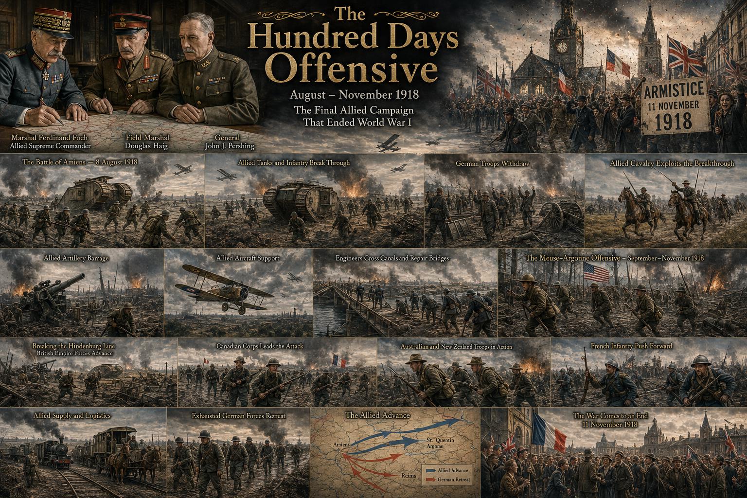 The Hundred Days Offensive: How the Allies Defeated Germany in World War I
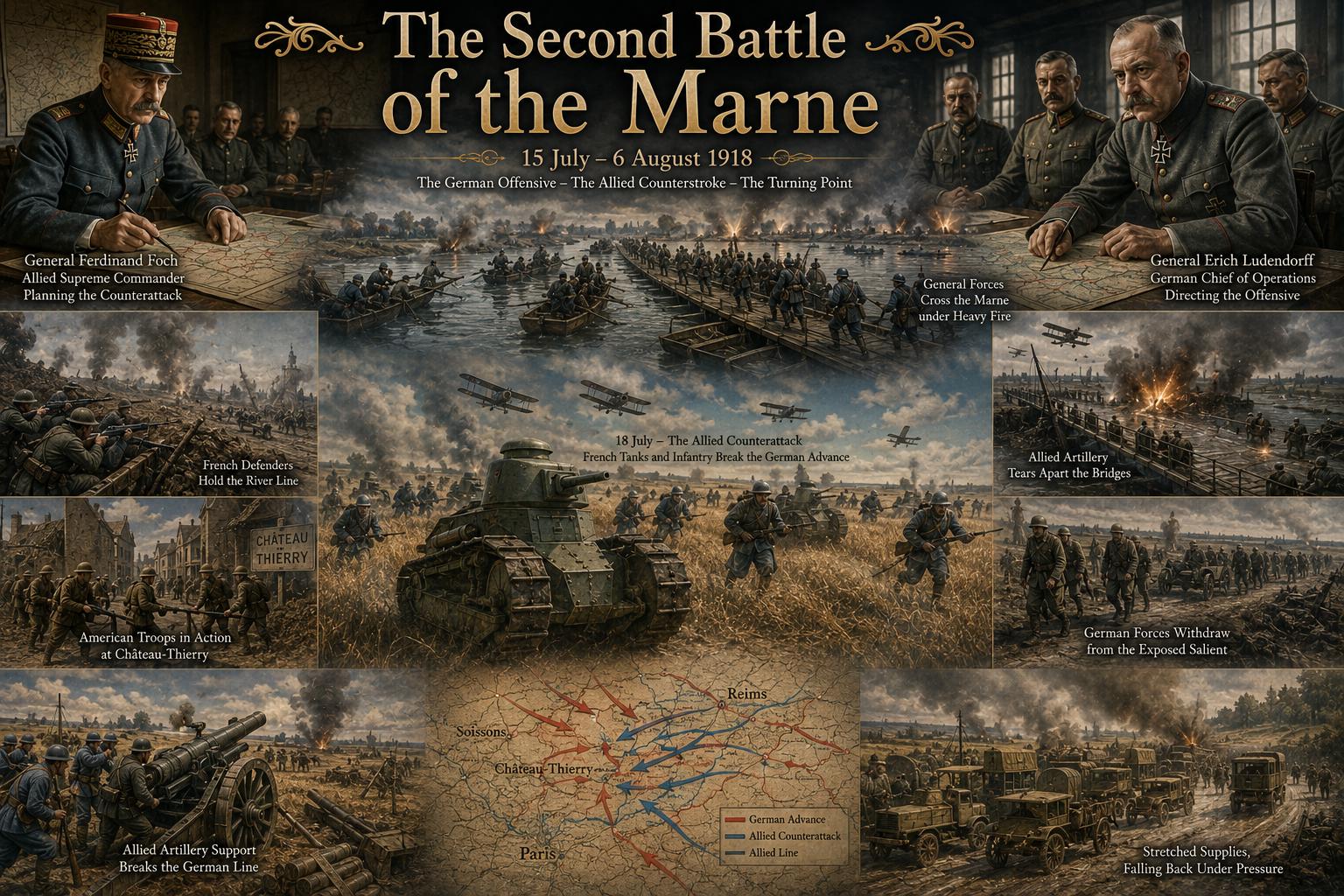 The Second Battle of the Marne: The Turning Point of World War I in 1918
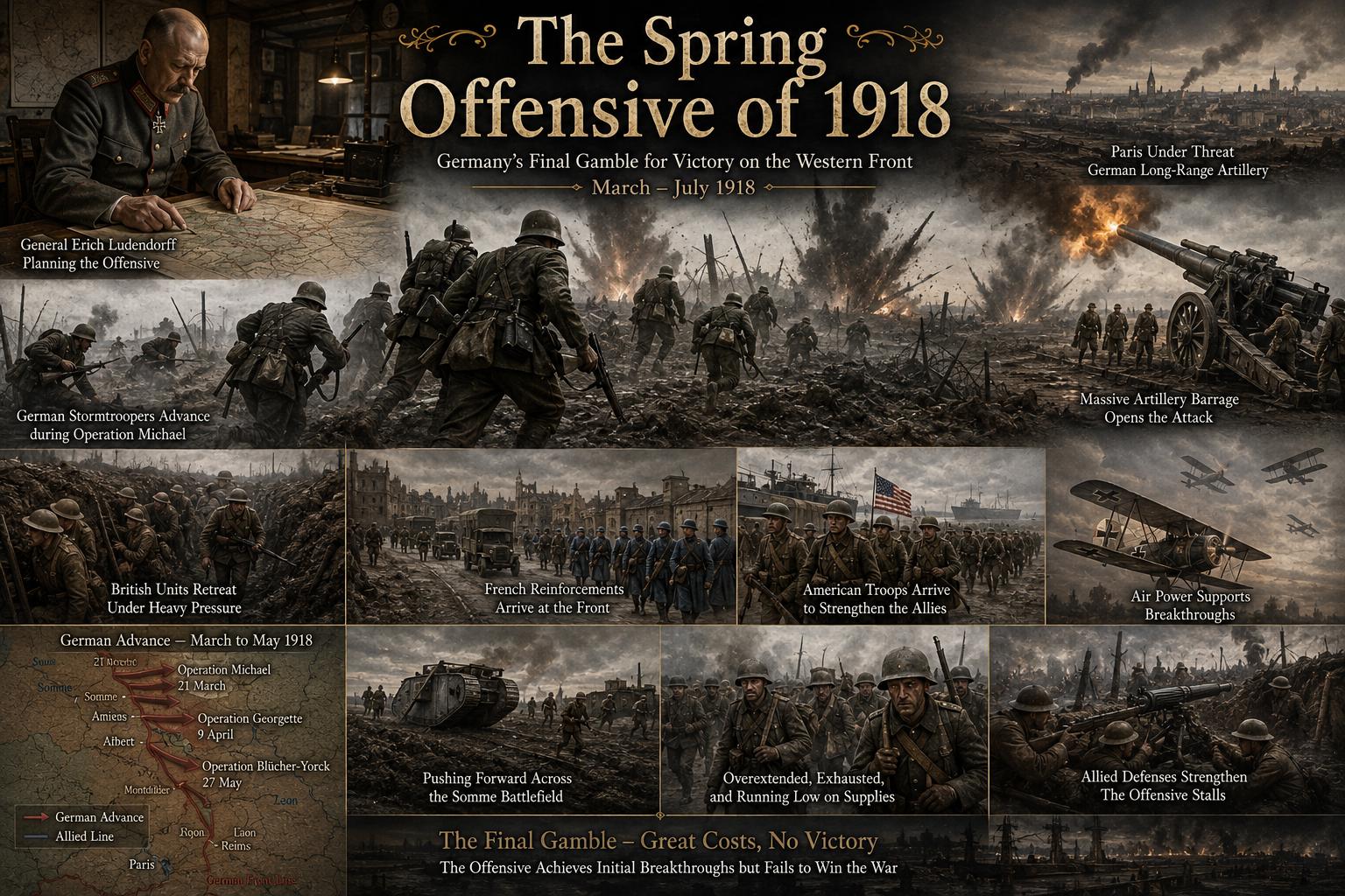 The Spring Offensive of 1918: Germany's Final Gamble to Win World War I
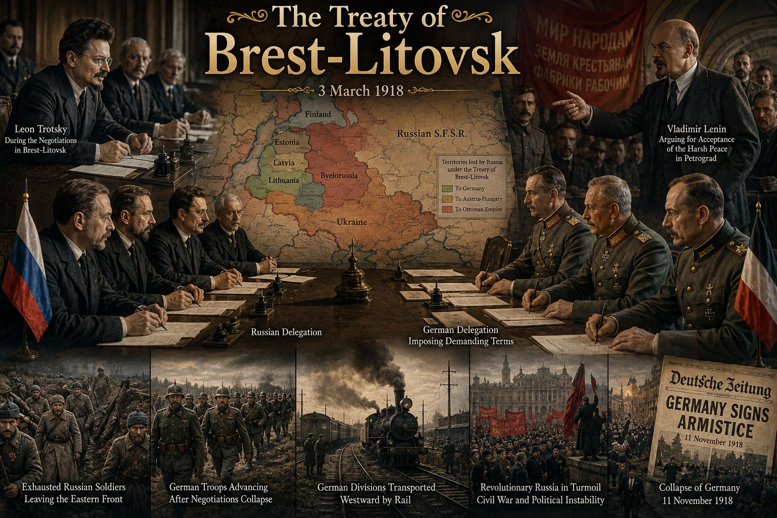 The Treaty of Brest-Litovsk: How Russia Left World War I
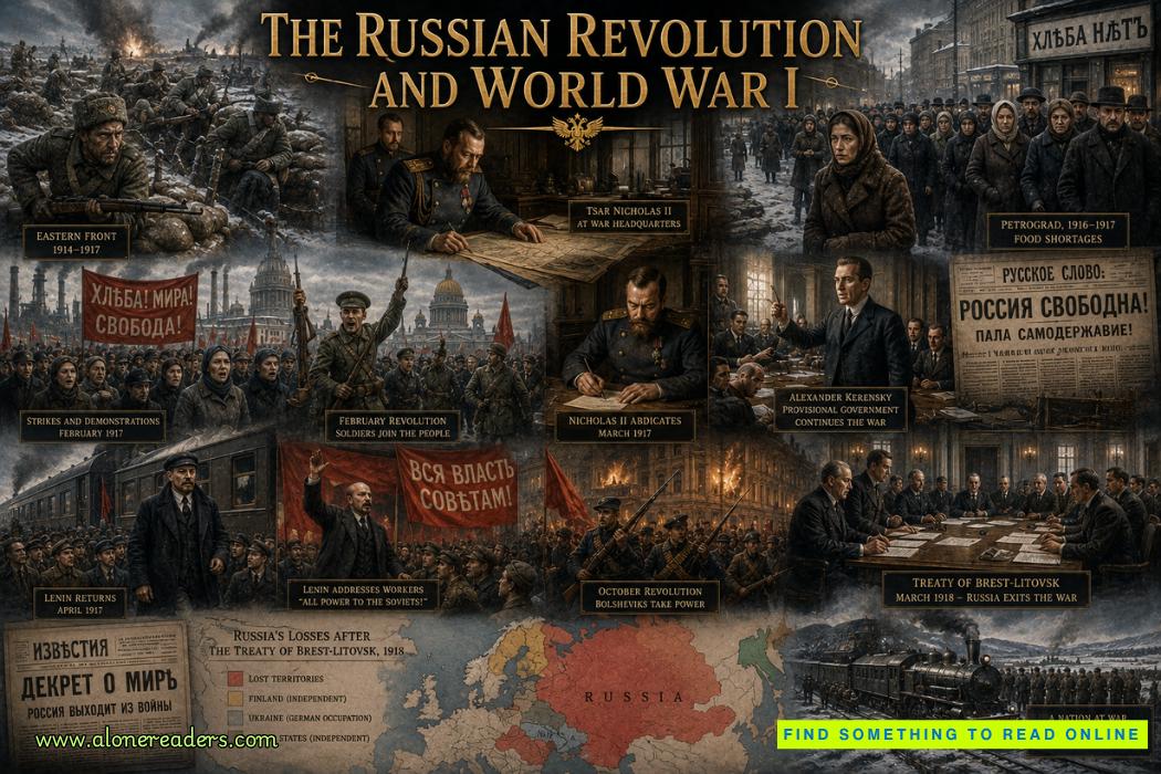 The Russian Revolution and World War I: How War Brought Down the Tsar
 The Zimmermann Telegram Explained: Germany's Secret Offer to Mexico in World War I