The Age of Discovery transformed not only the map of the world but also the very way humans understood space, direction, and distance. Behind the daring voyages of legendary explorers such as Vasco da Gama, Christopher Columbus, and Ferdinand Magellan stood a trilogy of revolutionary advancements—the compass, the caravel, and cartography. Each of these inventions reshaped navigation in profound and interlocking ways, converting the vast and uncertain oceans into traversable frontiers. Their combined development over centuries built the technical foundation that allowed humankind to connect continents, exchange cultures, and transform global history.
Before these instruments of precision existed, early navigators relied on rudimentary cues—the position of the sun by day, the constellations by night, the shape of coastlines, and the behavior of winds or seabirds. This intuitive method, called dead reckoning, often led sailors astray when clouds obscured the sky or when they sailed too far from familiar shores. The limitations of this approach kept most seafaring civilizations tethered close to land. But beginning in the early medieval and late medieval periods, a quiet technological revolution began—one that would culminate in the fifteenth and sixteenth centuries in a new age of systematic exploration.
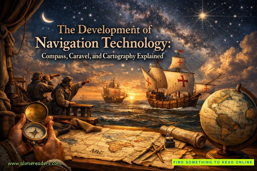
The magnetic compass was perhaps the most pivotal of these tools. Though magnetic phenomena had been known in ancient China as early as the Han Dynasty, the practical mariner’s compass only matured between the eleventh and thirteenth centuries. The earliest versions were nothing more than lodestones—naturally magnetized pieces of iron ore—placed on pieces of wood or floating in bowls of water. Over centuries of adaptation, this simple device evolved into the dry compass with a pivoting needle and later the card compass that displayed cardinal directions clearly marked on a circular base.
For the first time in history, sailors possessed an instrument that did not depend on celestial visibility. The compass provided constant orientation even on cloudy nights or deep within uncharted seas. By aligning itself with the Earth's magnetic field, it revealed magnetic north, thereby allowing navigators to estimate their bearings even when land was out of sight. The importance of this single innovation cannot be overstated—it freed navigation from the tyranny of weather and distance. The compass turned the open ocean from a fearful abyss into a measurable space.
However, the compass alone could not carry mankind across the Atlantic or around Africa. It gave direction but not the means or endurance to sustain such voyages. The European mariners of the fifteenth century needed a ship capable of surviving the tempests of the Atlantic, carrying heavy cargo, and maneuvering deftly across unpredictable winds. The caravel, born in the shipyards of Portugal, answered that call.
The caravel’s design represented a quantum leap in naval engineering. Evolving from earlier Mediterranean and North African models, it featured a slender hull with high freeboards and a distinctive combination of lateen and square sails. This hybrid rigging endowed it with remarkable versatility—it could harness the wind from multiple directions and sail even against prevailing breezes by tacking deftly. Portuguese shipwrights mastered this balanced geometry in the fifteenth century, crafting small caravels of about fifty to two hundred tons, which could be crewed efficiently and maintained speed over long distances.
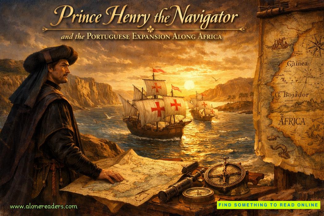
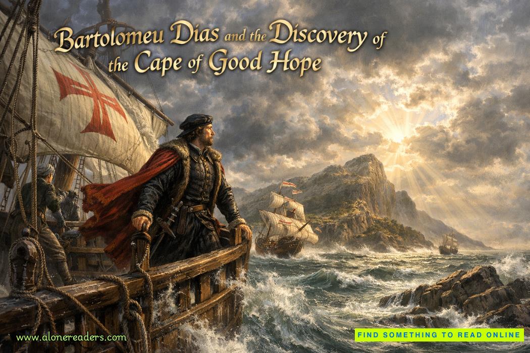
These ships bore graceful curves but also profound functional intelligence. They could edge near coasts with shallow draughts for exploration yet venture into deep ocean waters with endurance and control. Their agility made them perfect for reconnaissance and charting missions along the West African coast during the early Portuguese explorations commissioned by Prince Henry the Navigator. Later, larger caravels, reinforced and remodeled into naos and carracks, carried explorers such as Bartolomeu Dias and Vasco da Gama into the unknown—around the Cape of Good Hope and across the Indian Ocean to the riches of Asia.
The combination of the compass for orientation and the caravel for mobility created unprecedented maritime potential. But even these tools required a third pillar to complete the system: cartography, the art and science of mapmaking. Without accurate maps, exploratory voyages could not be repeated, routes could not be improved, and discoveries could not be recorded or transmitted. The medieval European worldview, inherited from Ptolemaic geography and theological maps such as the mappa mundi, was symbolic and centered on faith rather than empirical measure. The Age of Discovery demanded precision—a new vision of the world grounded in observation, mathematics, and record.
In the fifteenth century, European cartography entered a dynamic phase. The rediscovery of classical geographic texts during the Renaissance revived interest in spherical projection and coordinate systems. The invention of the printing press allowed maps to circulate more widely than ever, standardizing knowledge across nations. But the greatest leap came from the practical data gathered by mariners themselves. Every Portuguese and Spanish voyage generated fresh information on coastlines, prevailing winds, ocean currents, and latitudes. This knowledge was systematically compiled into portolan charts, detailed navigational maps that depicted coastlines with astonishing accuracy for their time.
Unlike the symbolic medieval depictions, portolans emphasized measurable features—compass roses, rhumb lines, and proportional distances between ports. Many were beautifully adorned yet rigorously functional, serving as essential guides for pilots navigating the Mediterranean and Atlantic. These charts represented the marriage of art and science, intuition and geometry, revealing how human experience at sea could be transformed into reproducible knowledge.
With each voyage, this empirical mapping refined itself further. The Iberian powers recognized the military and economic value of accurate charts and guarded them like state secrets. Yet competition among nations eventually drove broader innovation. When the Flemish cartographer Gerardus Mercator introduced his cylindrical map projection in the sixteenth century, enabling sailors to chart straight navigational courses over curved surfaces, the entire discipline of cartography took another monumental step forward. What had begun as effort to find coastlines evolved into a comprehensive attempt to quantify and represent the globe itself.
Together, the compass, caravel, and cartography forged the triad of navigation technology that unleashed the Age of Discovery. They were not independent milestones but deeply interconnected forces—each enabling and amplifying the others. The compass taught sailors how to hold direction consistently; the caravel provided the mobility to explore beyond known horizons; cartography transformed their accumulated experiences into shared human knowledge. Through their synergy, Europe’s mental map expanded from fragmented continents into an integrated planetary vision.
The result of this technological and intellectual revolution was not merely geographic expansion but cultural and scientific transformation. The voyages these tools enabled reshaped economies through new trade routes, redrew political boundaries through colonial expansion, and redefined global interdependence through cultural exchanges—both constructive and tragic. Even the sciences of astronomy and mathematics advanced as navigators demanded more accurate ways to measure latitude and eventually longitude. Instruments like the astrolabe and later the sextant emerged, along with improved timekeeping devices, to perfect the precision first hinted at by the compass.
From a modern perspective, these innovations seem humble compared to satellites and GPS systems. Yet every modern vessel that traverses the ocean, and every digital map that displays a location, carries within it the intellectual DNA of those early devices. The compass remains the symbol of orientation, the caravel stands for exploration, and cartography embodies knowledge itself. They mark the transition from instinctive travel to calculated navigation, from mythic geography to measured world.
It is striking that these advances emerged not from a single source or nation but through centuries of cross-cultural exchange. The magnetic compass was transmitted westward from China through the Islamic world, refined by Mediterranean sailors, and perfected in European hands. The caravel blended Moorish maritime concepts with Iberian craftsmanship. Cartography drew on Arab mathematical traditions, Byzantine records, and the observational rigor of European humanism. The Age of Discovery was therefore not merely European triumph but the culmination of global intellectual interplay—an intersection of ideas, materials, and experience stretching back thousands of years.
Among the most powerful outcomes of these developments was the redefinition of time and space in the human imagination. Before navigational accuracy, the oceans symbolized the unknown, the mystical edge of existence. Afterward, the seas became highways of commerce and communication. The compass needle, steady amid chaos, became a metaphor for certainty in uncertainty—the unerring guide in a spinning world. The caravel embodied courage and ingenuity, compact yet indomitable against vast horizons. Cartography, in turn, represented the act of naming and knowing—the human urge to capture reality on parchment, to make sense of expanses that once seemed infinite.
Each innovation bore an aesthetic as well as a practical dimension. The beautifully inked lines of early charts, the polished brass housing of a mariner’s compass, and the sleek silhouette of a caravel under full sail all testified to a cultural reverence for discovery. Maritime technology was not merely utilitarian: it expressed aspiration, identity, and the human longing to explore what lies beyond sight.
In the long history of technology, there have been moments when tools altered thought itself. The Gutenberg press democratized knowledge; the telescope extended vision; and the compass, caravel, and cartography expanded the world. Together they transformed human geography into planetary geometry. They turned exploration into a science and the Earth into a shared stage of human endeavor.
In truth, every map, every globetrotting expedition, and every act of discovery since the fifteenth century owes its lineage to these three intertwined developments. Had the magnetic compass not pointed unerringly north, sailors might have hesitated to leave the coasts. Had the caravel not balanced agility with endurance, their voyages might have failed. Had cartography not converted their journeys into structured information, their knowledge would have dissolved with them. But because all three arose and matured in fertilizing symbiosis, humanity permanently expanded its horizon.
Thus, the story of navigation technology during the Age of Discovery is more than mere chronology—it is a testament to the marriage of curiosity and craft. In the silent motion of a compass needle, the creak of a caravel’s timbers, and the intricate lines of a hand-drawn map lies the history of how humankind learned to navigate not just the seas, but the very idea of the world itself.

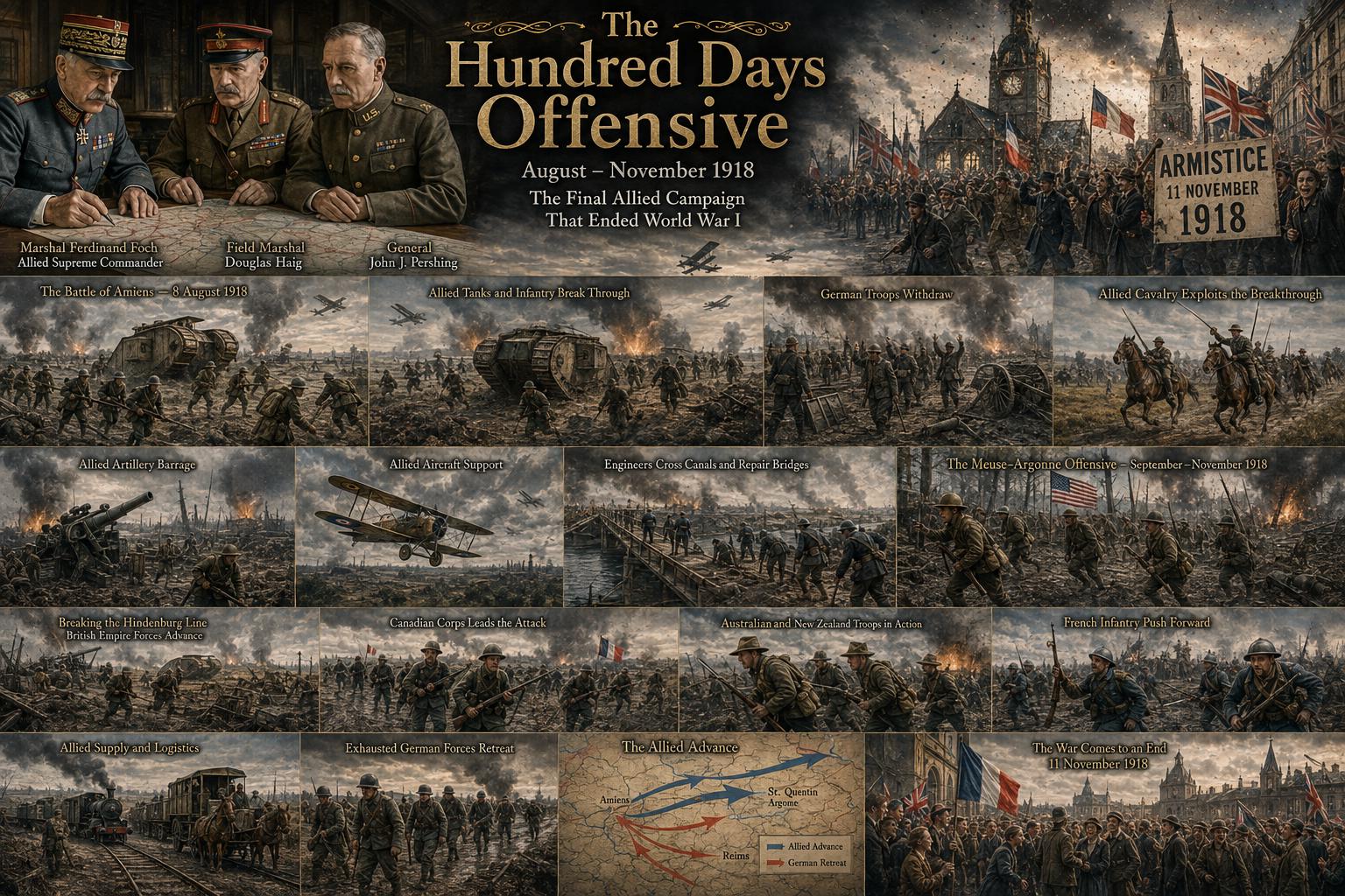 The Hundred Days Offensive: How the Allies Defeated Germany in World War I
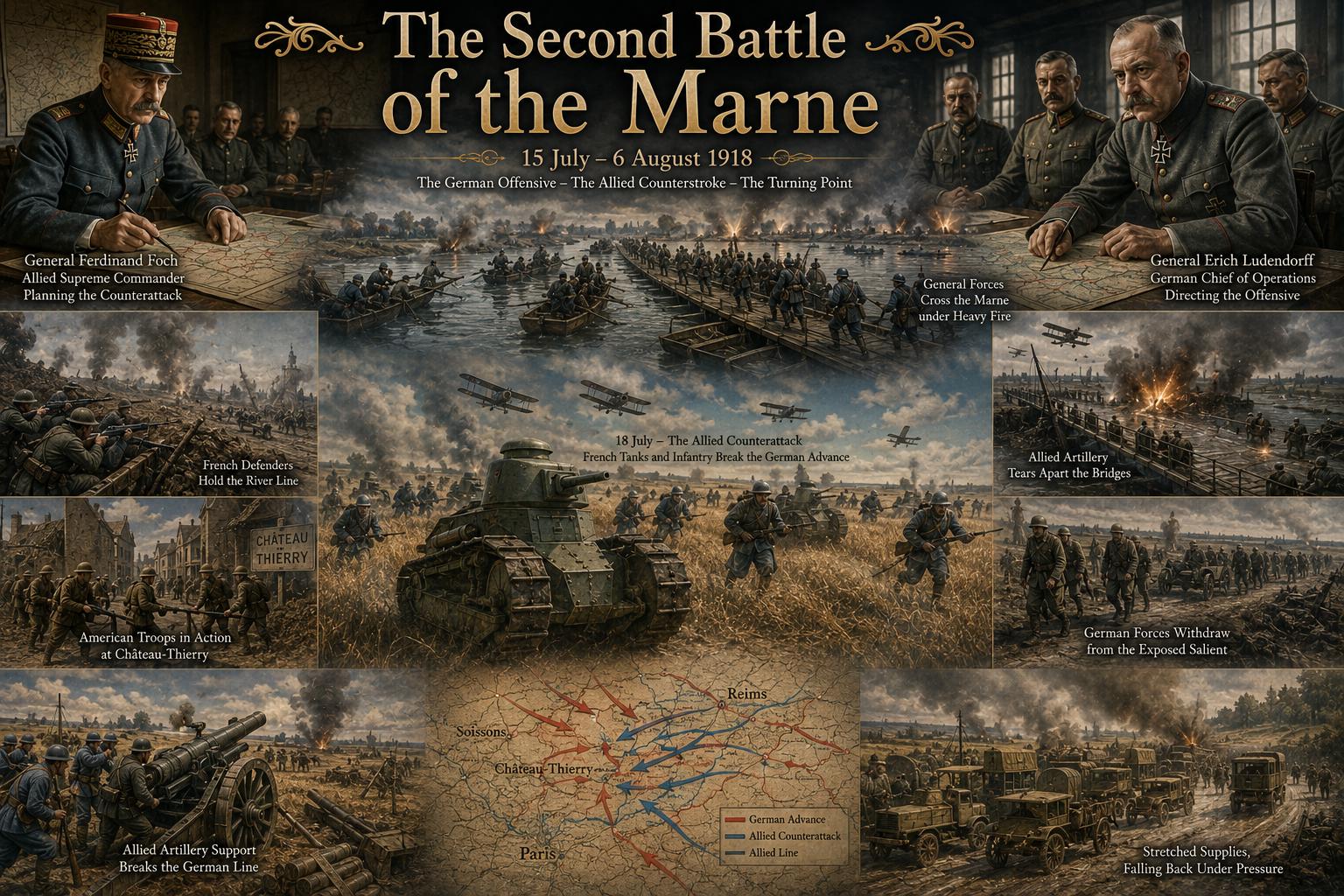 The Second Battle of the Marne: The Turning Point of World War I in 1918
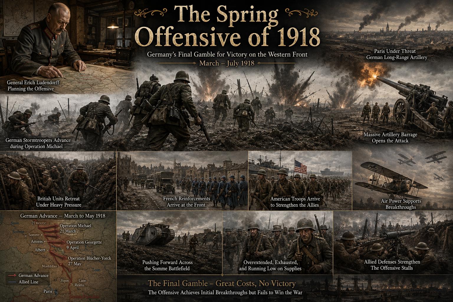 The Spring Offensive of 1918: Germany's Final Gamble to Win World War I
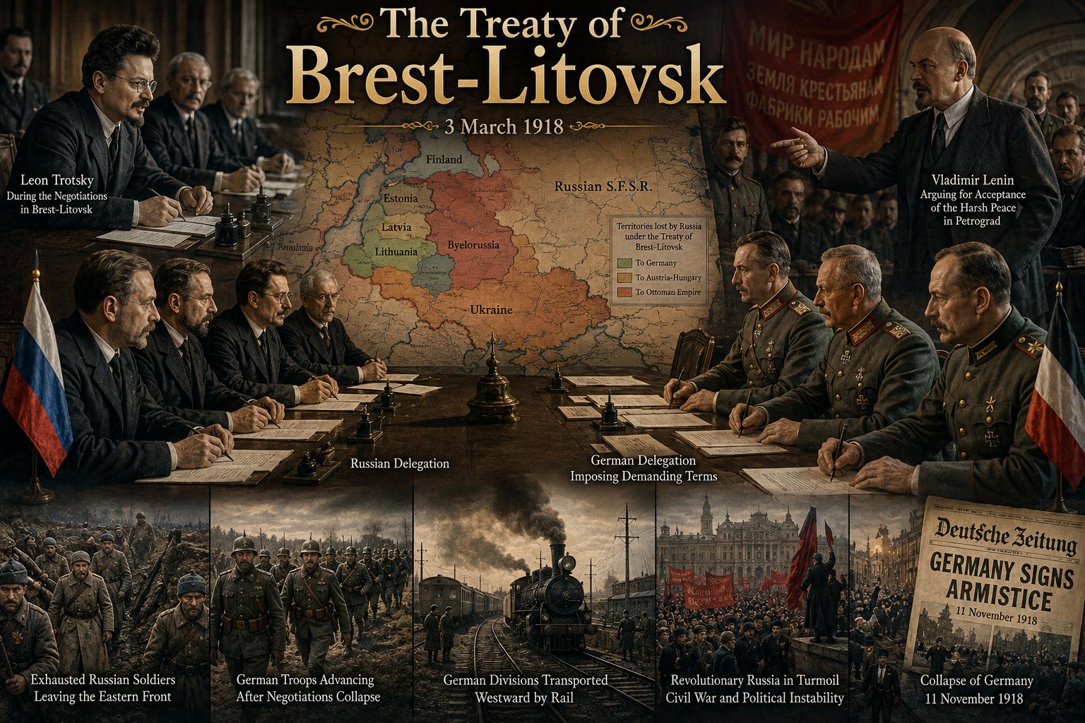 The Treaty of Brest-Litovsk: How Russia Left World War I
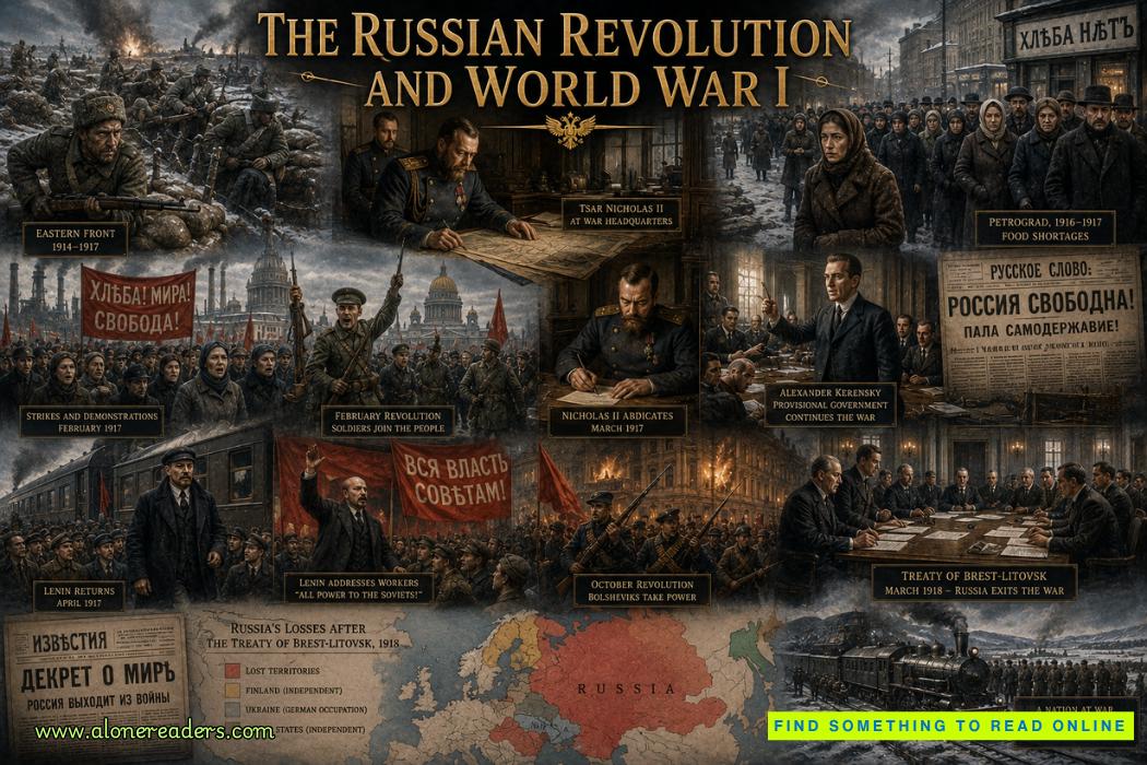 The Russian Revolution and World War I: How War Brought Down the Tsar
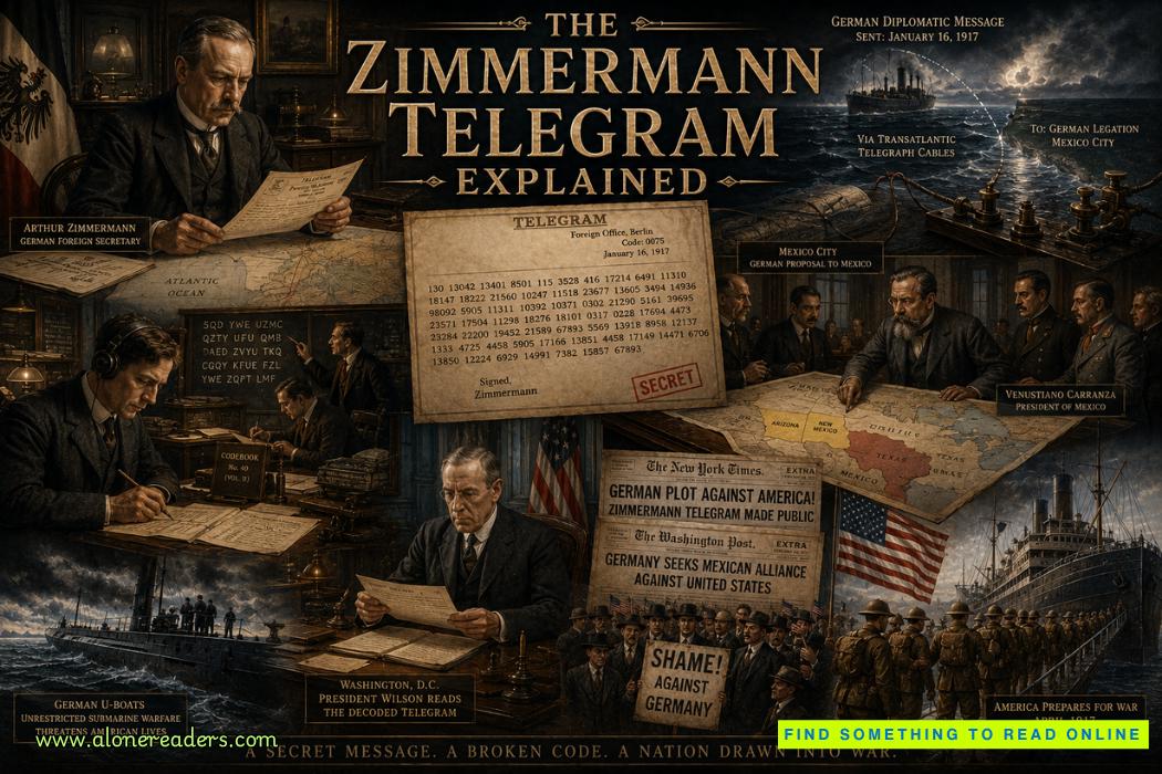 The Zimmermann Telegram Explained: Germany's Secret Offer to Mexico in World War I