When Spanish forces entered the Andes in the sixteenth century, they encountered an infrastructure system whose scale rivaled some of the greatest road networks of the ancient world. Across mountains, deserts, valleys, rivers, and plateaus stretched thousands of kilometers of roads connecting the territories controlled by the Inca Empire. Yet this enormous transportation system had developed under circumstances fundamentally different from those of Rome, Persia, or imperial China. The Incas constructed their road network without wheeled transport, draft animals capable of pulling heavy carts, iron tools, or a written administrative language comparable to those of Eurasian empires.
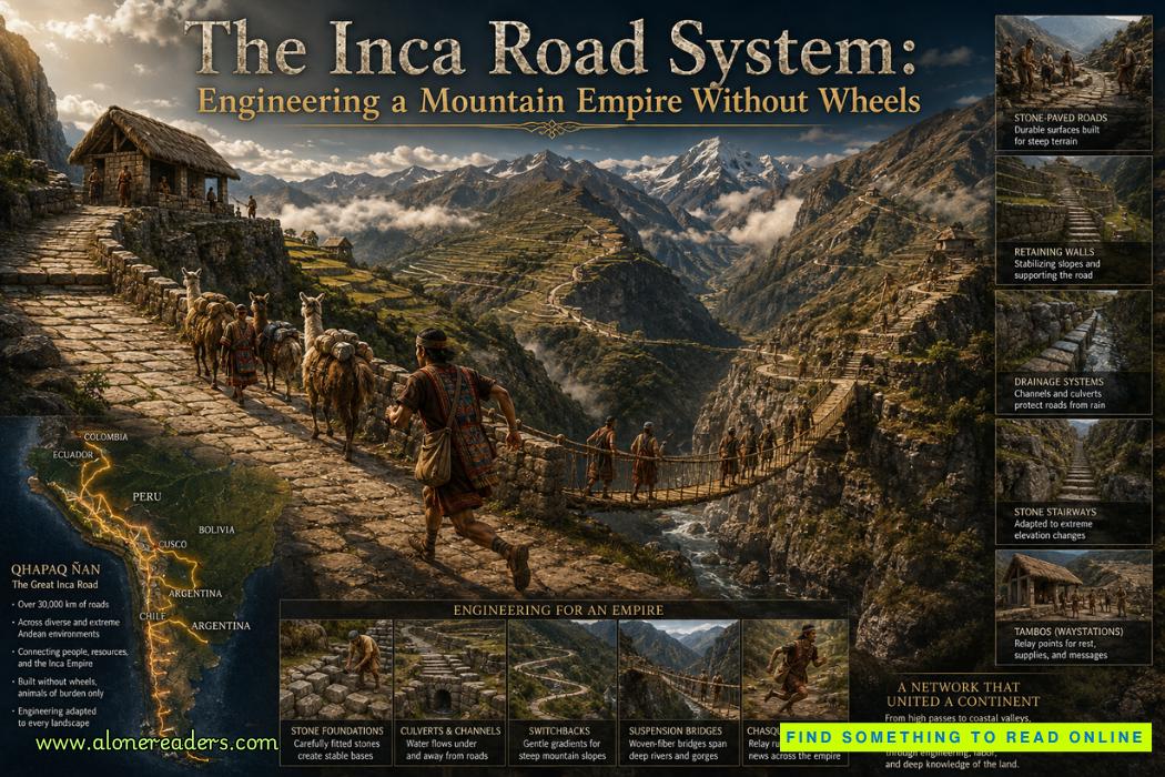
Known today by the Quechua name Qhapaq Ñan, often translated as the Royal Road or Great Inca Road, this network formed the physical backbone of Tawantinsuyu, the Inca Empire. At its height in the early sixteenth century, Tawantinsuyu extended along much of western South America, incorporating territories within modern Peru, Ecuador, Bolivia, Chile, Argentina, and Colombia. Estimates vary depending on what is counted as an Inca road, but the complete network probably extended for more than 30,000 kilometers, with some assessments placing it considerably higher.
The achievement becomes more remarkable when the geography is considered. The Incas were not laying roads across a relatively uniform plain. Their engineers confronted some of the world's most extreme terrain. Routes crossed the Andes at elevations exceeding 4,000 meters, descended into deep valleys, traversed arid coastal deserts, negotiated wetlands and grasslands, and crossed rivers and precipitous gorges.
Instead of imposing a single standardized design everywhere, Inca engineers adapted road construction to local environments. This flexibility was one of the network's greatest strengths.
On stable, relatively level terrain, a road might consist of a clearly defined compacted surface bordered by stones. In important settlements or difficult environments, sections could be carefully paved. On steep mountainsides, engineers carved stairways directly into slopes or constructed stone steps. Where roads crossed unstable ground, retaining walls supported the route. In wetlands, raised causeways helped keep travelers above saturated terrain. In desert regions, stone markers or walls could define routes across landscapes where elaborate paving was unnecessary.
This approach distinguishes the Qhapaq Ñan from the popular image of ancient imperial roads as continuous paved highways. The Inca objective was not to pave everything; it was to create the most effective route for people, animals, messages, armies, and state resources across radically different landscapes.
Drainage was critical. Heavy seasonal rainfall in mountainous areas could rapidly destroy poorly designed roads. Water flowing downhill could erode surfaces, undermine retaining walls, and trigger landslides. Inca engineers therefore constructed ditches, channels, culverts, and carefully graded surfaces that directed water away from vulnerable sections.
This concern with water management can still be observed at numerous archaeological sites. Stone-lined drainage channels often accompany roads, terraces, settlements, and ceremonial complexes. Such features demonstrate that Inca engineering was not simply about placing stones securely; it involved understanding how water interacted with terrain over long periods.
Mountain slopes created another challenge. A direct route upward might have been shorter geographically but impractical for travelers and heavily laden llamas. Engineers therefore employed switchbacks, staircases, retaining walls, and carefully selected gradients to negotiate elevation.
In some places, stairways ascend terrain so steep that conventional roads would have been extremely difficult to construct. This reflects a crucial difference between Inca and European transportation systems. Because Inca roads were designed primarily for pedestrians and llama caravans rather than wheeled carts, engineers could use gradients and staircases that would have been impossible for wagon traffic.
The absence of wheeled transportation is frequently misunderstood as evidence that the Incas somehow failed to discover the wheel. Wheeled objects were known in parts of pre-Columbian America, but the practical transportation environment of the Andes provided little incentive for developing a cart-based system comparable to those of Eurasia.
The Andes offered steep slopes, narrow paths, enormous elevation changes, and frequent ravines. Furthermore, the Incas lacked large draft animals equivalent to horses, oxen, or mules. Their principal pack animal was the llama, exceptionally well adapted to high-altitude travel but unable to haul the heavy wheeled loads that oxen or horses could move.
Consequently, Inca transportation evolved around a different technological system: human movement, pack llamas, strategically engineered paths, bridges, relay stations, and centralized logistics. Within that context, wheels would often have provided little advantage.
Perhaps the most spectacular components of the network were the fiber suspension bridges constructed across rivers and deep gorges. In a landscape where a single canyon could interrupt an otherwise efficient route, bridges were essential to imperial communication.
Inca bridge builders twisted plant fibers into cords, combined those cords into increasingly thick ropes, and anchored the resulting cables to substantial stone structures on opposite sides of a gorge. Major cables supported the walking surface, while additional ropes formed handrails and stabilizing elements.
These bridges were not crude improvisations. Some crossed gaps that would have presented formidable challenges even to societies possessing advanced masonry. Their flexible construction was particularly appropriate in seismic and mountainous environments, although organic materials deteriorated and required regular replacement.
Maintenance therefore became part of the technology itself. Communities responsible for particular bridges periodically produced new ropes and reconstructed them through organized collective labor. The survival of the traditional Q'eswachaka rope-bridge rebuilding practice in Peru provides a remarkable cultural connection to this engineering tradition.
Road maintenance more broadly depended upon the Inca state's ability to mobilize labor. Tawantinsuyu operated through systems of obligatory public service commonly associated with the mit'a. Rather than maintaining infrastructure exclusively through a permanent centralized construction workforce, the state could draw labor from communities throughout the empire.
Workers built and repaired roads, bridges, terraces, storage facilities, administrative centers, and other infrastructure. This meant that the Qhapaq Ñan was simultaneously an engineering project and an administrative system. Its existence depended as much upon organized labor and state logistics as upon stoneworking expertise.
Along important routes stood tambos, strategically located facilities that served travelers acting on behalf of the state. Their size and function varied, but they could provide lodging, supplies, storage, and logistical support for officials and military forces.
Nearby storage complexes, often called qullqas, allowed the state to accumulate food, textiles, weapons, equipment, and other resources. Rather than requiring armies or officials to carry everything across enormous distances, supplies could be distributed through a network of strategically positioned facilities.
This transformed roads from simple paths into an integrated logistical infrastructure.
One of the system's most celebrated users was the chasqui, the Inca relay messenger. Chasquis were trained runners stationed along important routes. A messenger carried information for a limited distance before transferring it to another runner, allowing messages to move rapidly across territory.
Relay stations known as chasquiwasis were positioned along major roads. Through repeated handoffs, information could travel far faster than a single messenger could sustain over the same distance.
Messages were not necessarily transmitted through alphabetic writing. The Inca administration used quipus, arrangements of knotted cords capable of recording numerical and administrative information. Oral messages could also be memorized and relayed. Roads, runners, quipus, and administrative centers therefore functioned together as a sophisticated information system.
The road network also served unmistakably military purposes. Inca armies could move through conquered territories using established routes while obtaining provisions from state-controlled facilities. This capability allowed the imperial government at Cusco to project power across extraordinary distances.
Yet the roads were more than instruments of conquest. They connected sacred sites, settlements, agricultural regions, mines, provincial centers, and ceremonial landscapes. Certain routes possessed political and religious significance, reinforcing the ideological authority of the Inca state.
Two great north-south corridors illustrate the network's continental scale. One broadly followed the Andean highlands, while another extended through coastal regions. Numerous transverse roads linked these major axes, connecting highland centers with valleys and the Pacific coast.
Cusco occupied the symbolic heart of this system. The Inca conception of Tawantinsuyu divided the empire into four major regions, or suyus, associated with roads radiating from the capital. Infrastructure physically expressed the political geography of the empire.
Building across such territory required remarkable surveying ability. Inca engineers lacked modern instruments, yet their routes demonstrate sophisticated judgment concerning gradients, drainage, geological stability, travel efficiency, water availability, and strategic location.
Stone retaining walls reveal particularly impressive craftsmanship. Where a mountainside offered insufficient natural width, builders could create an artificial platform supported by masonry. In other areas, roads were cut directly into rock. Steps were shaped to overcome severe changes in elevation, while walls protected routes from erosion or marked their boundaries.
Importantly, the Incas did not create every road from nothing. They inherited and expanded infrastructure developed by earlier Andean societies, including the Wari and other regional cultures. As Tawantinsuyu expanded, existing paths were incorporated, improved, standardized where necessary, and connected to newly constructed imperial routes.
This makes the Qhapaq Ñan the culmination of centuries of Andean engineering rather than the product of a single generation.
The Spanish conquest fundamentally changed the transportation landscape. Europeans introduced horses, mules, oxen, carts, and new economic networks. Some Inca routes remained highly useful, while others were altered, abandoned, or incorporated into colonial transportation systems. Routes optimized for pedestrians and llamas were not necessarily suitable for European wheeled vehicles.
Centuries of development, erosion, agriculture, road building, and urban expansion subsequently damaged or obscured many sections. Nevertheless, substantial stretches remain visible, sometimes crossing remote Andean landscapes much as they did centuries ago.
The Qhapaq Ñan demonstrates why technological sophistication cannot be measured by asking whether a civilization possessed particular inventions familiar from another region. The Incas did not build Roman-style highways because they did not face Roman transportation conditions. They engineered infrastructure specifically for Andean geography, available animals, human mobility, imperial administration, and local materials.
Their solution was extraordinarily effective. Stone roads climbed mountains where carts would have been nearly useless. Llama caravans carried supplies without requiring wide wagon roads. Suspension bridges crossed otherwise prohibitive gorges. Drainage systems protected routes from destructive water. Tambos and storehouses sustained travelers and armies. Chasqui relays turned physical roads into communication networks.
Most importantly, these components functioned as a single system.
The true engineering marvel of the Inca road network was not simply its enormous length, but the integration of roads, bridges, drainage, labor, storage, communications, and logistics across one of the most difficult inhabited landscapes on Earth. Without conventional wheeled transportation, the Incas built infrastructure capable of binding together a mountain empire spanning thousands of kilometers. The surviving Qhapaq Ñan remains powerful evidence that engineering excellence is not defined by copying a universal technological formula—it is defined by designing the right system for the environment in which a civilization must survive and operate.



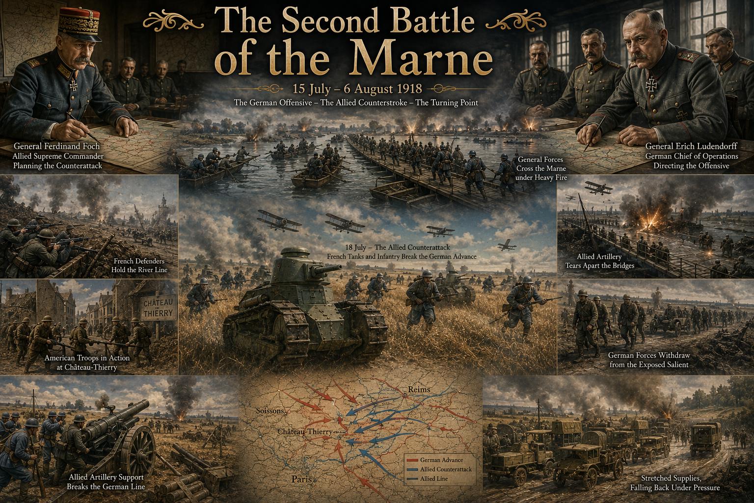 The Second Battle of the Marne: The Turning Point of World War I in 1918
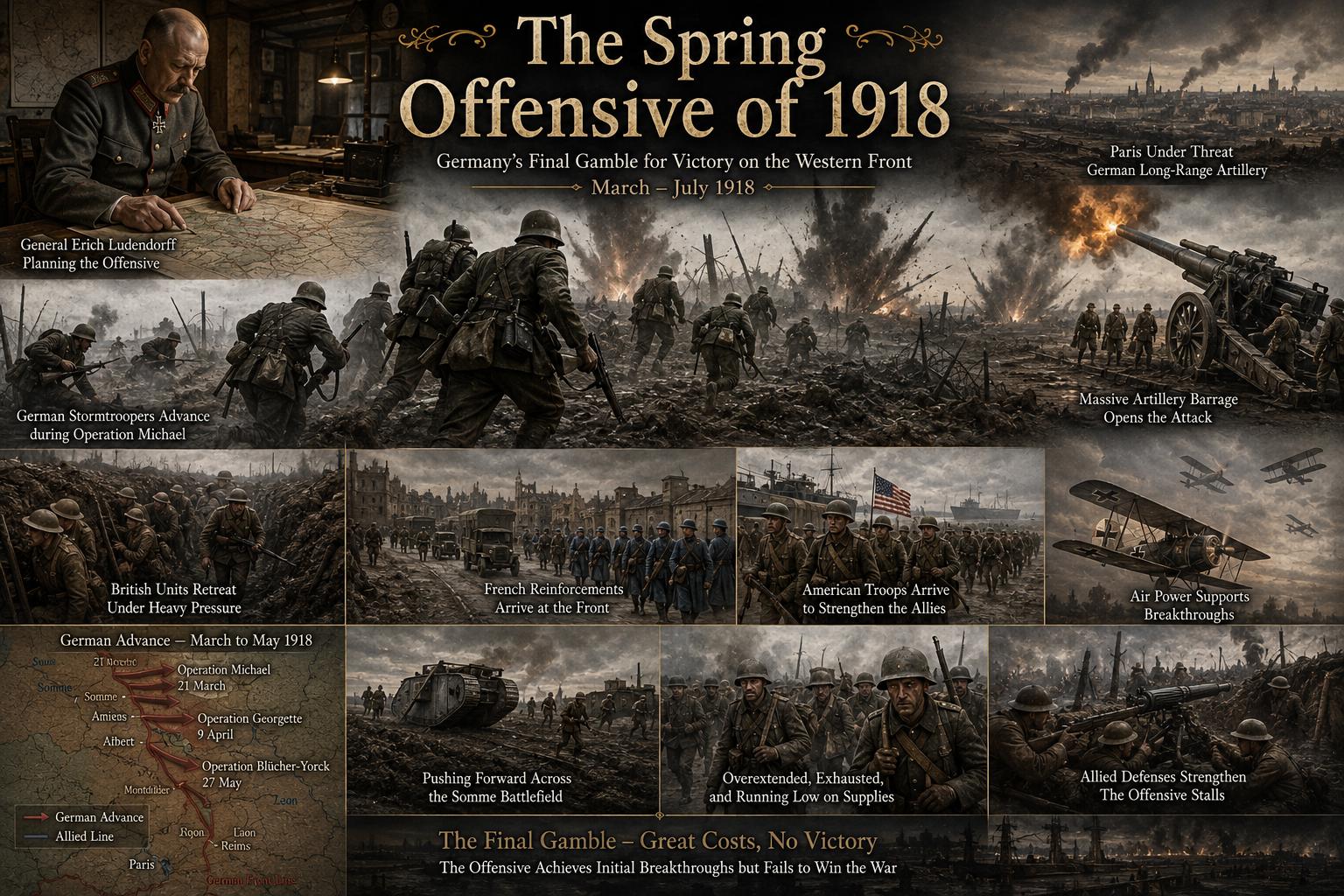 The Spring Offensive of 1918: Germany's Final Gamble to Win World War I
 The Treaty of Brest-Litovsk: How Russia Left World War I
 The Russian Revolution and World War I: How War Brought Down the Tsar
 The Zimmermann Telegram Explained: Germany's Secret Offer to Mexico in World War I
 Why the United States Entered World War I: From Neutrality to War in 1917