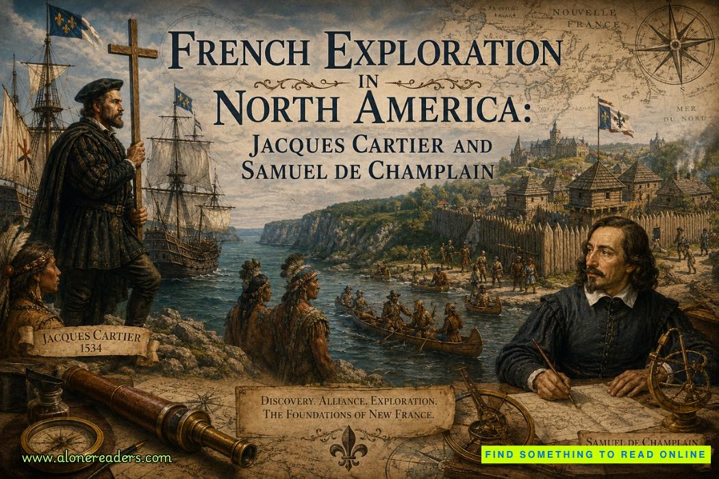
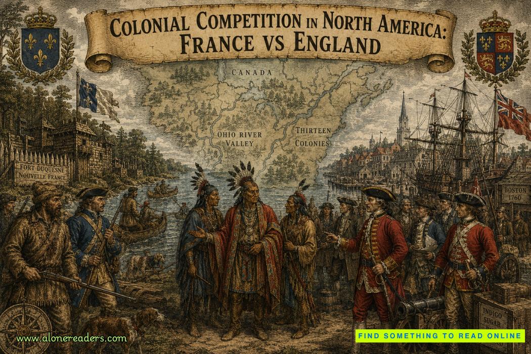
French exploration in North America during the Age of Discovery produced two towering figures whose voyages helped shape the continent’s future: Jacques Cartier in the sixteenth century and Samuel de Champlain in the early seventeenth century. Both men sailed under the French crown, but their missions, methods, and legacies differed in important ways that reveal how European exploration evolved from tentative reconnaissance to enduring colonization. Understanding their contributions provides a precise lens on how the idea of New France, and ultimately Canada, emerged from the cold waters of the Atlantic and the St. Lawrence River.
When Jacques Cartier left France in 1534, he sailed on behalf of King Francis I, driven by classic Age of Discovery ambitions: finding a western route to Asia, accessing precious metals, and expanding royal prestige. Cartier’s three voyages—1534, 1535–1536, and 1541–1542—were exploratory in the strict sense: they aimed to survey coasts, chart rivers, and test possibilities for wealth, rather than to immediately create large permanent settlements. On his first journey, Cartier entered the Gulf of St. Lawrence, sailed along the coast of what is now Newfoundland, and explored areas such as the Gaspé Peninsula, where he famously erected a cross and claimed the land for France. This simple act of planting a cross—at once a religious and political symbol—encapsulates the early French approach: symbolic possession rather than deep-rooted occupation.
Cartier’s second voyage pushed further into the interior, making him one of the first Europeans to navigate the St. Lawrence River as a major corridor into the continent. Guided in part by Indigenous knowledge, he reached the sites of present-day Quebec City (Stadacona) and Montreal (Hochelaga), encountering powerful St. Lawrence Iroquoian communities whose villages and agriculture contradicted European stereotypes of a sparsely populated wilderness. Yet Cartier misread the land’s potential; hoping for gold and silver, he brought back minerals that later turned out to be worthless iron pyrite and quartz, earning the bitter label of “false diamonds.” This disappointment, combined with severe scurvy among his crew and tense relations with local people, led France to pause large-scale colonial investment in the region for decades.
Despite these setbacks, Cartier’s work was fundamental. His charts of the Gulf and river, his descriptions of the climate and resources, and his reports of Indigenous societies formed a geographic and political blueprint for later French ambitions. He demonstrated that the St. Lawrence was not simply a bay, but an inland route—an arterial waterway that could connect France to vast interior territories. In effect, Cartier’s voyages transformed the Canadian east from a marginal coastline into a strategic frontier in the European imagination, laying the ground for the more systematic work of Samuel de Champlain.
By the time Samuel de Champlain entered the scene around 1603, the context had shifted. European powers had begun to understand that while the route to Asia remained elusive, North America itself offered profitable trades, especially in furs, and opportunities to plant enduring colonies. Champlain was not merely an explorer; he was a cartographer, administrator, and colonizer, deeply involved in creating New France as a functioning society. Under the patronage of French merchants and eventually the crown, Champlain traveled repeatedly to the region, surveying coasts from Acadia to the St. Lawrence, and producing detailed maps that were far more accurate than those of earlier decades.
Champlain’s most iconic achievement was the founding of Quebec in 1608, a fortified settlement on a narrow point of the St. Lawrence that he chose specifically for its defensive qualities and its position along the river trade routes. Unlike Cartier’s brief encampments, Quebec was designed as a permanent base—a center for governance, the fur trade, and missionary activity. The early winters were brutal, with disease, hunger, and cold killing many settlers, yet Champlain persisted, organizing supplies, securing support from France, and slowly expanding the settlement’s population. This stubborn commitment marked a crucial difference: where Cartier’s presence was seasonal and exploratory, Champlain’s was enduring and institutional.
Another key distinction lies in their relationships with Indigenous peoples. Cartier’s encounters with St. Lawrence Iroquoians were marked by misunderstanding and conflict; he famously abducted Chief Donnacona and others, taking them to France, an act that damaged trust and possibly contributed to the disappearance of those communities from French records by the early seventeenth century. Champlain, though far from free of violence—he took part in battles alongside Indigenous allies—pursued a policy of alliances, diplomacy, and mutual benefit more systematically. He forged ties with the Innu (Montagnais), Algonquin, and Huron-Wendat, recognizing that control of the fur trade and access to the interior depended on Indigenous cooperation and guidance.
This strategy of Franco–Amerindian alliances was central to French power in North America. Champlain agreed to support allies militarily, including in conflict against the Iroquois Confederacy, and in return gained access to networks of trade and information that stretched far beyond the St. Lawrence valley. The French presence became woven into Indigenous political dynamics, which meant that French expansion was both enabled and constrained by local interests. These relationships were fragile and often unequal, but they differentiated New France from certain English colonies that relied more heavily on dispossession and mass settlement from the outset.
Economically, Champlain helped shift France’s focus from speculative searches for gold toward the structured exploitation of natural resources, above all the fur trade. The beaver pelts that flowed down the St. Lawrence to Quebec, and eventually across the Atlantic, linked Indigenous hunters, French traders, and European markets into a single commercial system. Champlain’s role was to secure routes, negotiate with partners, and ensure that profits justified continued royal and corporate investment. Where Cartier’s “false diamonds” had symbolized the failure of early dreams of mineral wealth, Champlain’s beaver pelts represented a pragmatic adaptation to the realities of the North American environment.
Cartier and Champlain also differed in their intellectual legacies. Cartier’s written accounts are valuable but relatively descriptive and limited in scope, concerned with immediate navigational details and impressions of the land and its inhabitants. Champlain, by contrast, produced extensive narratives, maps, and plans that combined geographical precision with political and ethnographic observation. His mapping of the Atlantic coast, the St. Lawrence, and the interior—reaching as far south as Lake Champlain in present-day New York and Vermont—helped consolidate a European understanding of northeastern North America as a coherent region rather than a series of isolated coasts. In this sense, Champlain completed and refined the exploratory picture that Cartier had begun to sketch.
Yet it would be misleading to treat Champlain simply as a more successful version of Cartier. Their efforts were sequential and complementary, reflecting two stages of French engagement with North America. Cartier belonged to the phase of probing discovery, when European monarchs sent navigators to test routes, plant crosses, and bring back samples in the hope of quick riches or strategic advantage. Champlain embodied the move toward structured colonization, in which the objectives expanded to include permanent settlements, regulated trade, missionary work, and long-term alliances with Indigenous nations. Without Cartier’s early reconnaissance and claims, Champlain would have lacked a clear French foundation. Without Champlain’s persistence and administrative skill, Cartier’s discoveries might have remained footnotes in imperial geography rather than the seeds of a lasting colony.
By the mid-seventeenth century, the framework they built had matured into New France, stretching along the St. Lawrence and into the Great Lakes, with Quebec as a central hub and a growing French and Indigenous population integrated through trade and religion. The long-term story—eventual British conquest, shifting demographics, and the transformation of colonial structures—is complex, but the origin point remains the voyages of Cartier and Champlain. Cartier marked the map and claimed the space; Champlain inhabited it, organized it, and tied it into both local and global systems.
Seen from the perspective of the Age of Discovery, their careers illustrate how exploration was not simply about heroic individuals crossing oceans, but about the slow construction of knowledge, power, and relationships over decades. The cold decks of Cartier’s ships, the wooden palisades of early Quebec, the canoe routes of Indigenous traders, and the beaver pelts stacked in warehouses—all were part of a single historical process that reshaped North America. In that process, Jacques Cartier and Samuel de Champlain stand together as foundational architects of the French presence in the New World, bridging the gap between first claim and lasting colony along the deep waters of the St. Lawrence.

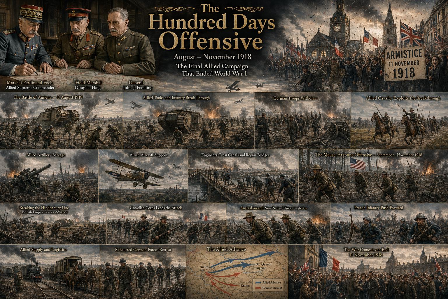 The Hundred Days Offensive: How the Allies Defeated Germany in World War I
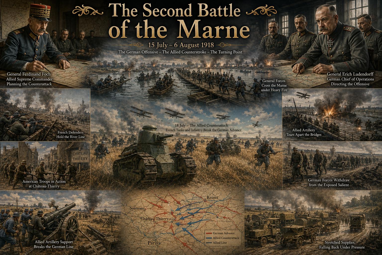 The Second Battle of the Marne: The Turning Point of World War I in 1918
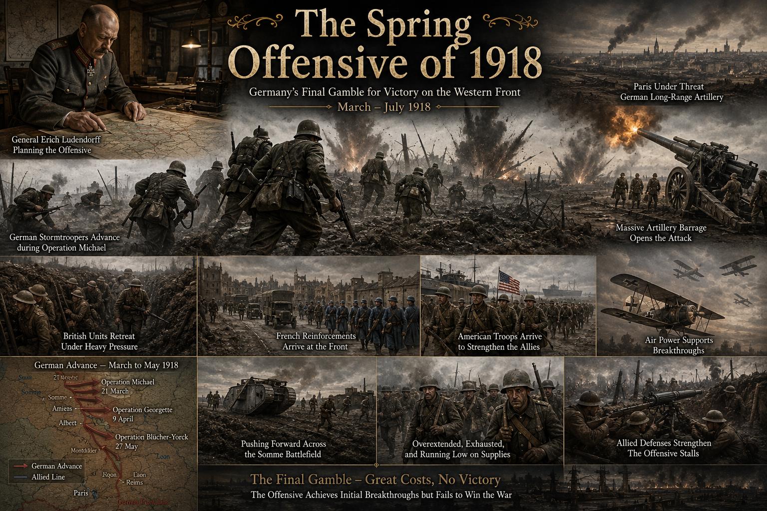 The Spring Offensive of 1918: Germany's Final Gamble to Win World War I
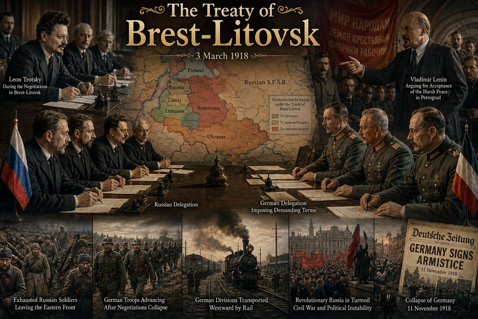 The Treaty of Brest-Litovsk: How Russia Left World War I
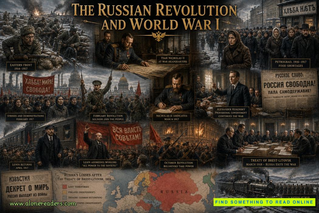 The Russian Revolution and World War I: How War Brought Down the Tsar
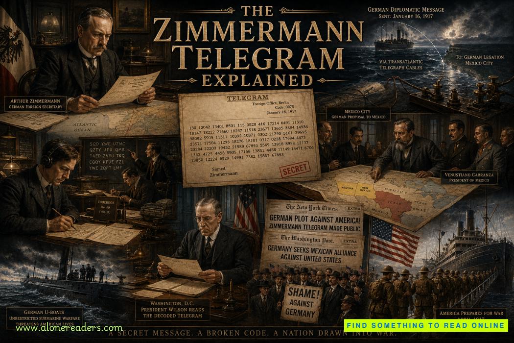 The Zimmermann Telegram Explained: Germany's Secret Offer to Mexico in World War I