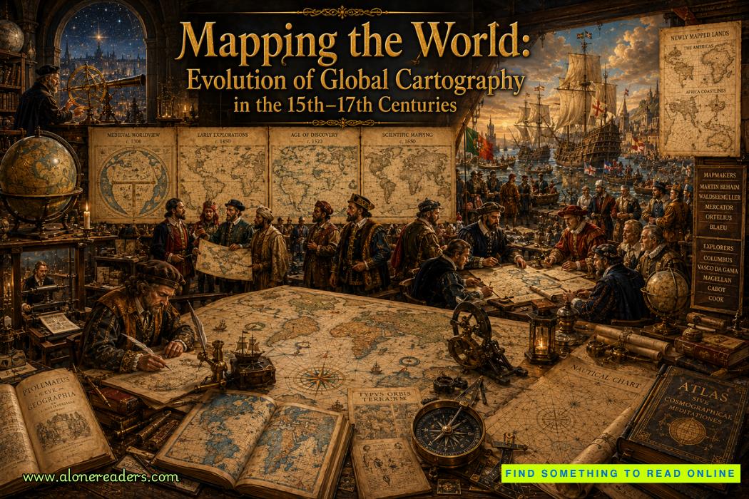
The history of human civilization has always been intertwined with the desire to understand the world beyond familiar horizons. Long before satellites and digital mapping systems transformed geography into a precise science, maps were fragile works of art that combined observation, imagination, mathematics, religion, and political ambition. During the Age of Discovery, spanning roughly from the fifteenth through the seventeenth centuries, cartography experienced one of the greatest revolutions in human history. The rapid expansion of global exploration forced mapmakers to abandon centuries of inherited assumptions and replace them with increasingly accurate representations of the Earth. Every voyage across unknown seas challenged existing knowledge, while every newly charted coastline contributed to a more complete understanding of the planet.
At the beginning of the fifteenth century, European maps still reflected medieval traditions heavily influenced by classical authorities, particularly the Greek scholar Claudius Ptolemy. Although Ptolemy's Geographia, written during the second century, introduced sophisticated concepts such as latitude, longitude, and coordinate systems, many geographical details within his work were incomplete or inaccurate due to limited exploration. Medieval European maps often served religious rather than navigational purposes. Jerusalem frequently occupied the center of the world, mythical creatures roamed unexplored regions, and distant lands were depicted according to legends rather than direct observation. Maps represented both knowledge and belief, blending reality with imagination.
The revival of classical learning during the Renaissance dramatically changed this perspective. When scholars rediscovered Ptolemy's geographical writings in the early fifteenth century, they recognized both their strengths and limitations. His mathematical framework offered an excellent foundation for scientific mapping, but the expanding voyages of Portuguese and Spanish explorers quickly revealed that many of his geographical assumptions required correction. Cartography began shifting from inherited authority toward empirical observation.
Portugal became one of the first nations to revolutionize practical cartography. Under the patronage of Prince Henry the Navigator, Portuguese sailors systematically explored the western coast of Africa. Each expedition returned with valuable information regarding coastlines, harbors, currents, reefs, and prevailing winds. Royal cartographers carefully incorporated these discoveries into updated nautical charts known as portolan charts, which were prized for their remarkable coastal accuracy. Unlike decorative medieval maps, portolan charts prioritized practical navigation, featuring detailed coastlines, compass roses, rhumb lines, and sailing directions that allowed mariners to travel with greater confidence across unfamiliar waters.
As Portuguese exploration extended around the Cape of Good Hope into the Indian Ocean, European understanding of Africa underwent a profound transformation. Previously unknown coastlines appeared on maps with increasing precision, replacing speculation with measured observation. The sea route to India opened entirely new commercial possibilities, and every successful voyage enhanced the quality of geographical knowledge available to future navigators.
Spain's sponsorship of Christopher Columbus in 1492 initiated another cartographic revolution. Although Columbus believed he had reached Asia, subsequent expeditions gradually revealed that an entirely unknown pair of continents separated Europe from eastern Asia. The realization that the Americas constituted previously unknown lands fundamentally altered humanity's perception of the world. Cartographers faced the enormous challenge of integrating these discoveries into existing geographical models while abandoning centuries-old misconceptions.
The voyages of Amerigo Vespucci played a particularly influential role in this process. Through careful observation and detailed written accounts, Vespucci argued that the newly discovered lands represented an entirely separate continent rather than the eastern coast of Asia. In 1507, the German cartographer Martin Waldseemüller published a revolutionary world map that labeled these lands "America" in Vespucci's honor. Although later editions corrected several inaccuracies, Waldseemüller's map marked one of the earliest public recognitions that Europeans had encountered a previously unknown continent.
The first circumnavigation of the Earth, completed by Juan Sebastián Elcano following Ferdinand Magellan's expedition between 1519 and 1522, transformed global cartography even further. The voyage demonstrated conclusively that the Earth could be circumnavigated by sea, provided realistic estimates of oceanic distances, and revealed the immense scale of the Pacific Ocean. Cartographers now possessed firsthand evidence connecting continents into a coherent global system. The world was no longer a collection of isolated regions but an interconnected globe linked by navigable oceans.
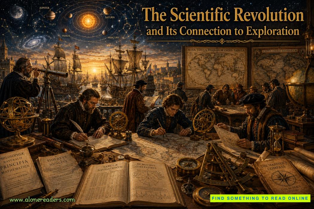
Advances in astronomy greatly strengthened cartographic accuracy during this period. Sailors increasingly relied upon celestial observations using instruments such as the astrolabe, quadrant, cross-staff, and eventually the backstaff. Latitude could be determined with reasonable precision by measuring the height of the Sun or Pole Star above the horizon. Longitude remained much more difficult to calculate accurately until the eighteenth century, but continuous improvements in navigation gradually reduced positional errors. The growing partnership between astronomy and cartography represented one of the earliest examples of multidisciplinary scientific cooperation.
Printing technology also played an essential role in spreading geographical knowledge. Before Johannes Gutenberg's movable-type printing press, maps were painstakingly copied by hand, making them expensive and difficult to distribute. Printing enabled standardized maps to reach scholars, merchants, sailors, government officials, and wealthy collectors across Europe. Geographic knowledge expanded more rapidly because corrections and new discoveries could be incorporated into revised editions that reached thousands of readers rather than only a handful.
One of the greatest achievements of sixteenth-century cartography came from the Flemish geographer Abraham Ortelius. In 1570 he published Theatrum Orbis Terrarum, widely regarded as the world's first modern atlas. Instead of producing isolated maps, Ortelius assembled standardized regional maps into a single comprehensive volume covering the known world. His atlas combined geographical accuracy with artistic elegance, making it enormously influential throughout Europe. Governments, merchants, explorers, and scholars all relied upon Ortelius's work as an authoritative reference.
Another towering figure was Gerardus Mercator, whose contributions permanently shaped modern mapping. In 1569 he introduced the Mercator Projection, specifically designed to assist long-distance navigation. By preserving compass bearings as straight lines, the projection allowed sailors to plot consistent courses across vast oceans. Although the projection significantly distorted the relative sizes of regions near the poles, its navigational advantages made it indispensable for maritime exploration. Even today, variants of Mercator's projection continue to influence navigation and digital mapping.
Dutch cartographers emerged as global leaders during the seventeenth century, reflecting the Dutch Republic's dominance in maritime commerce. Companies such as the Dutch East India Company accumulated enormous quantities of geographical information from voyages throughout Asia, Africa, and the Americas. Cartographers including Willem Blaeu and Joan Blaeu transformed these observations into exceptionally detailed maps and atlases. Their works combined scientific precision with extraordinary artistic craftsmanship, featuring elaborate decorative borders, coats of arms, ships, sea creatures, city views, and detailed topographical information.
The increasing accuracy of world maps profoundly affected international politics. Monarchs viewed maps not merely as scientific documents but also as instruments of imperial authority. Colonial claims frequently depended upon mapped boundaries, while strategic harbors, islands, and trade routes became carefully documented to strengthen national interests. Maps evolved into powerful political tools capable of shaping diplomacy, commerce, military planning, and territorial expansion. Possessing superior geographical knowledge often translated directly into commercial and military advantages.
Cartography also stimulated economic growth. Merchants relied upon increasingly reliable nautical charts to establish profitable trading networks connecting Europe with Asia, Africa, and the Americas. Shipping companies planned safer voyages by identifying prevailing winds, ocean currents, reefs, and navigational hazards. Insurance costs gradually declined as improved maps reduced maritime uncertainty. Better cartography therefore contributed directly to the expansion of global commerce that characterized the early modern world.
Scientific thinking likewise benefited from advances in mapping. Natural philosophers increasingly recognized that geographical information should be collected systematically through observation, measurement, comparison, and verification rather than inherited unquestioningly from ancient authorities. Cartography became one of the earliest disciplines to embrace the principles that would later define the Scientific Revolution. The careful recording of coastlines, rivers, mountains, and celestial observations encouraged rigorous standards of evidence that influenced numerous scientific fields.
Despite remarkable progress, maps from the fifteenth through seventeenth centuries still contained notable inaccuracies. Interior regions of Africa, South America, Australia, and North America remained poorly understood. Many rivers followed speculative courses, mountain ranges appeared in incorrect locations, and mythical features occasionally persisted. Sea monsters, imaginary islands, and decorative illustrations continued to occupy portions of unexplored oceans. Yet these imperfections reflected honest attempts to represent incomplete knowledge rather than deliberate fantasy. Each new expedition gradually eliminated uncertainties, demonstrating the cumulative nature of scientific discovery.
Perhaps the greatest legacy of this era lies not merely in the maps themselves but in the transformation of human thought. Earlier generations viewed geography through inherited tradition, while Renaissance and early modern cartographers increasingly demanded evidence gathered through exploration, measurement, and observation. Every corrected coastline symbolized humanity's willingness to replace assumption with verified knowledge. This intellectual shift extended far beyond geography, influencing astronomy, natural science, navigation, economics, and political administration.
By the close of the seventeenth century, the world had become dramatically more recognizable than it had been only two centuries earlier. Europe possessed reasonably accurate outlines of Africa, the Americas, much of Asia, and growing knowledge of the Pacific. International sea routes connected distant continents, atlases circulated widely through printing, navigational techniques became increasingly sophisticated, and governments relied upon maps as essential instruments of administration and expansion. The evolution of global cartography during the Age of Discovery transformed maps from symbolic illustrations into scientific representations of an interconnected planet. This remarkable transformation laid the essential foundations for modern geography, international navigation, and global understanding, ensuring that the achievements of Renaissance cartographers continue to influence how humanity visualizes and comprehends the Earth today.

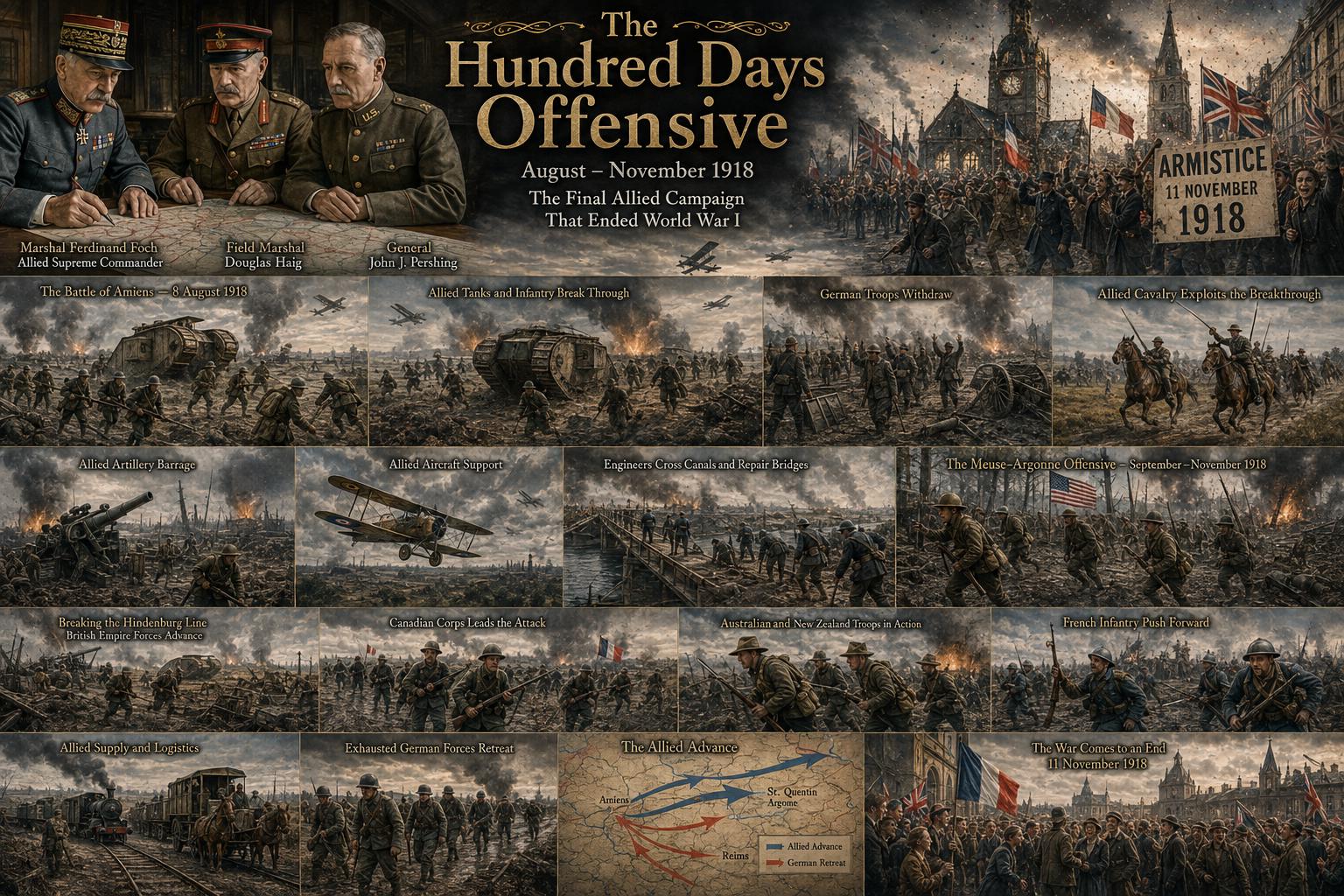 The Hundred Days Offensive: How the Allies Defeated Germany in World War I
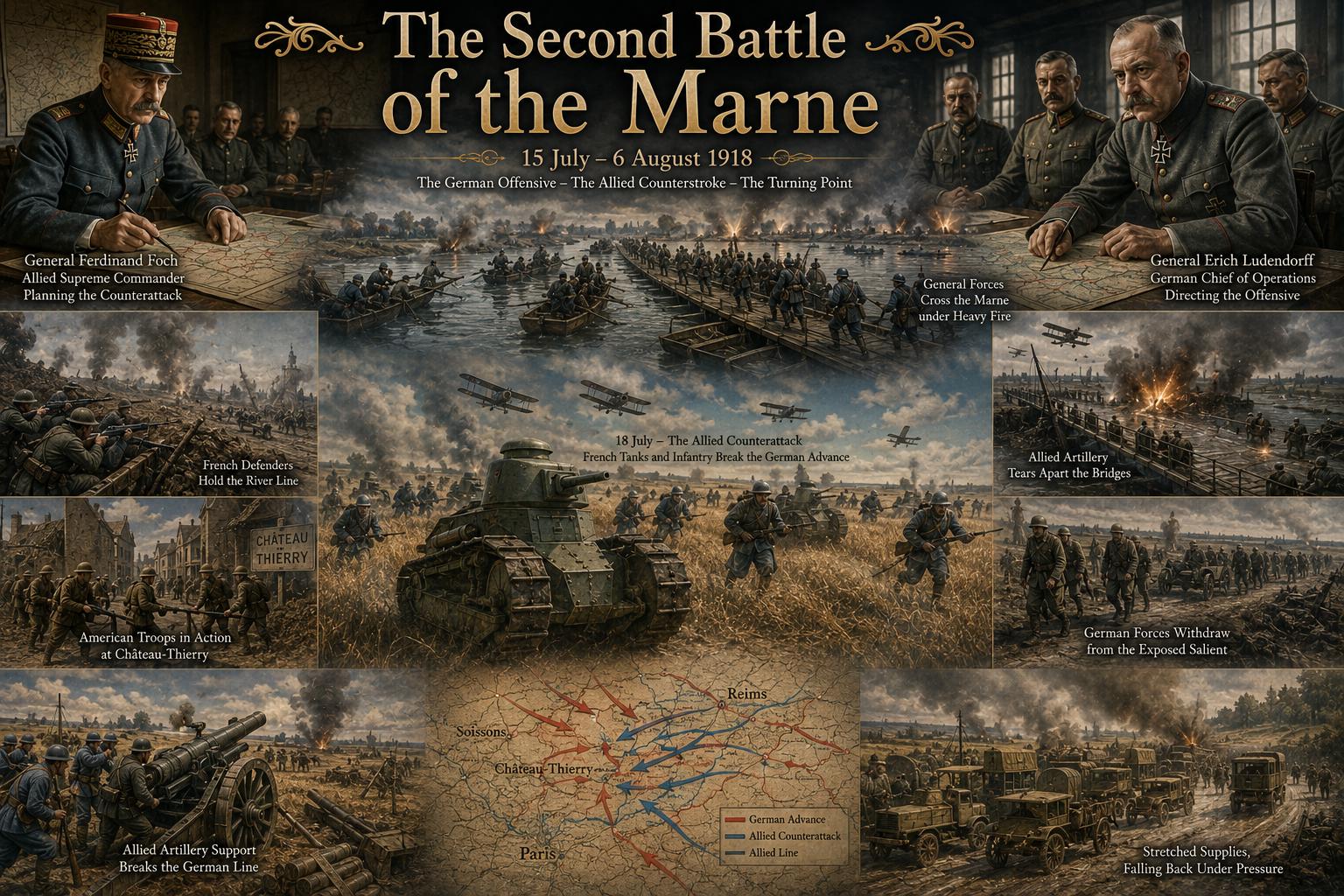 The Second Battle of the Marne: The Turning Point of World War I in 1918
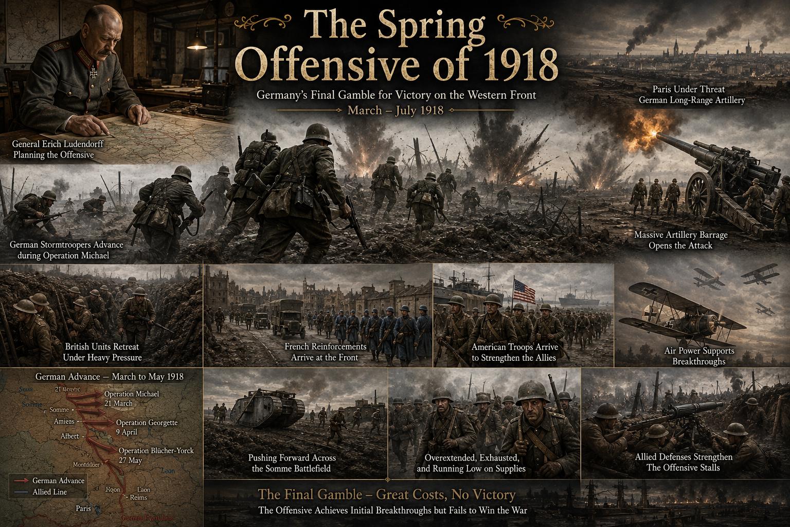 The Spring Offensive of 1918: Germany's Final Gamble to Win World War I
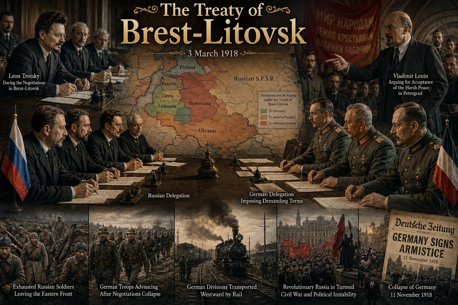 The Treaty of Brest-Litovsk: How Russia Left World War I
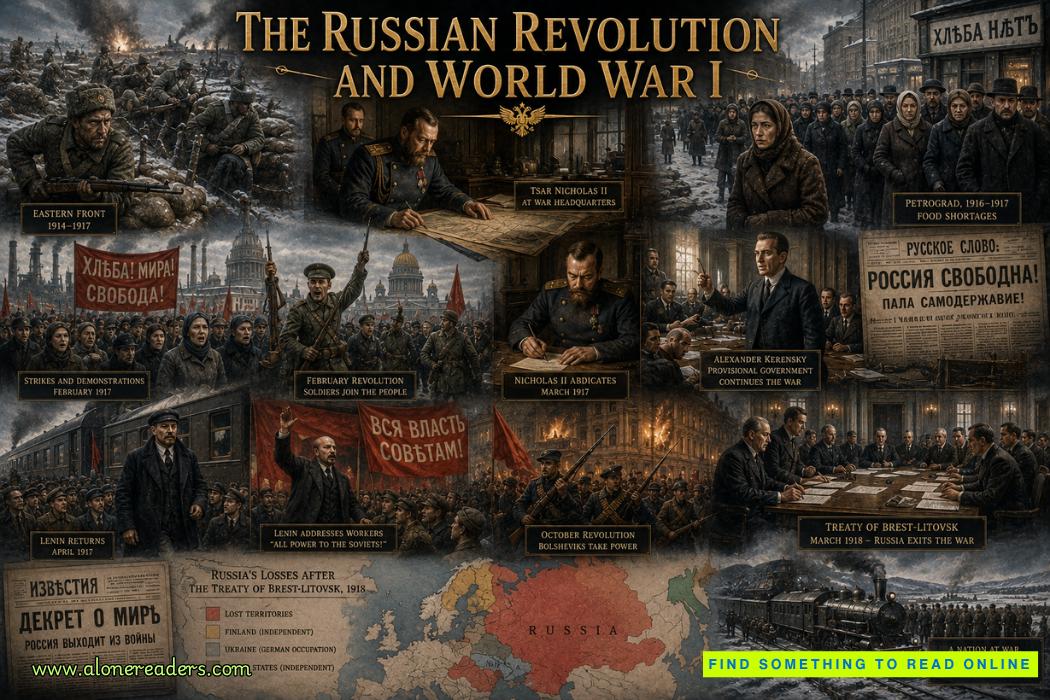 The Russian Revolution and World War I: How War Brought Down the Tsar
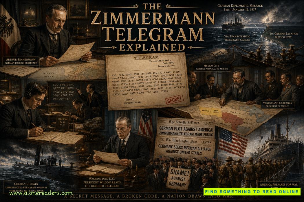 The Zimmermann Telegram Explained: Germany's Secret Offer to Mexico in World War I