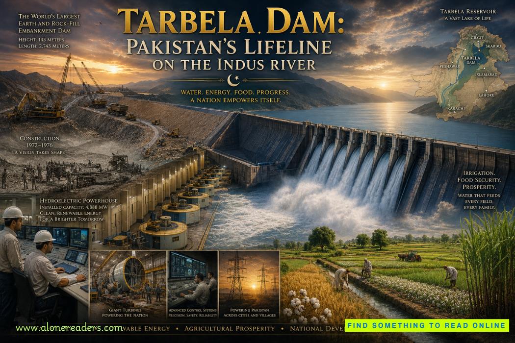
Flowing from the towering glaciers of the Himalayas, Karakoram, and Hindu Kush mountain ranges, the Indus River has shaped the history of South Asia for thousands of years. Long before modern nations emerged, the river nourished one of the world's earliest urban civilizations, sustained fertile agricultural plains, and provided the water upon which millions depended. Today, the Indus remains Pakistan's most important natural resource, supplying water to one of the world's largest irrigation systems while generating electricity that powers homes, industries, and cities across the country. Standing across this mighty river is Tarbela Dam, a remarkable engineering achievement that has become the cornerstone of Pakistan's water security, agricultural productivity, and renewable energy infrastructure.
The importance of the Indus River cannot be overstated. Stretching more than 3,100 kilometers, it originates on the Tibetan Plateau before flowing through India and Pakistan into the Arabian Sea. Nearly all of Pakistan's major agricultural regions depend directly or indirectly upon the Indus and its tributaries. Seasonal snowmelt and glacier runoff produce enormous river flows during the summer, while winter months often experience significantly lower water availability. Before the construction of Tarbela Dam, managing these dramatic seasonal variations posed one of Pakistan's greatest engineering and economic challenges. Too much water during the flood season and too little during dry months repeatedly threatened the nation's agricultural stability.
The origins of Tarbela Dam are closely connected to one of the most significant water agreements in modern history—the Indus Waters Treaty of 1960. Under this treaty, Pakistan required new storage reservoirs and water management infrastructure to compensate for changes in water distribution across the Indus Basin. Engineers recognized that a massive reservoir on the upper Indus could regulate seasonal flows, improve irrigation supplies, reduce flood damage, and generate large quantities of renewable electricity. Following extensive geological investigations and international planning, the Tarbela site in Khyber Pakhtunkhwa Province was selected as the ideal location for one of the world's largest embankment dams.
Construction officially began in 1968, marking one of the largest civil engineering projects ever undertaken in Pakistan. The project received financial support from an international consortium led by the World Bank, with contributions from several countries and development institutions. Thousands of engineers, surveyors, geologists, hydrologists, construction workers, equipment operators, and technicians participated in the undertaking. Entire construction camps, workshops, transportation networks, and material processing facilities were established near the site, transforming a remote valley into one of the busiest engineering centers in Asia.
One of the first challenges facing engineers was understanding the geology of the Indus Valley. Detailed investigations examined rock formations, groundwater conditions, fault lines, and foundation stability. Because Tarbela Dam would retain billions of cubic meters of water, every aspect of the foundation required careful analysis. Extensive drilling programs, laboratory testing, and geological mapping confirmed that the site could safely support an embankment of unprecedented scale. The success of the project depended upon ensuring that the foundation remained stable under immense hydraulic pressure for decades to come.
Unlike many famous dams constructed primarily from concrete, Tarbela Dam is an earth and rock-fill embankment dam. This design utilizes enormous quantities of compacted earth, gravel, rock, and clay rather than relying solely on reinforced concrete. Engineers selected this approach because suitable construction materials were readily available near the site, making it both technically practical and economically efficient. Upon completion, Tarbela became the world's largest earth and rock-fill dam, an engineering distinction it continues to hold among embankment dams.
The scale of construction was extraordinary. The main embankment stretches approximately 2,743 meters in length and rises about 143 meters above the riverbed. Millions of cubic meters of rock and earth were carefully transported, layered, and compacted using massive rollers and heavy earthmoving equipment. Every layer underwent strict quality inspections to ensure proper density, moisture content, and structural integrity. The enormous size of the embankment reflects one of the greatest achievements in large-scale earth-fill engineering.
Before the main dam could be constructed, engineers needed to divert the powerful Indus River around the construction site. Temporary diversion tunnels were excavated through surrounding mountains, allowing the river to bypass the future dam location while foundation work proceeded. Excavating these tunnels required continuous drilling, blasting, and removal of vast quantities of rock under challenging geological conditions. Once the diversion system became operational, workers gained access to the riverbed, enabling excavation of foundation materials and construction of the permanent embankment.
Building the dam demanded remarkable logistical coordination. Thousands of dump trucks, bulldozers, excavators, cranes, and compactors operated continuously throughout the project. Specialized laboratories tested construction materials while surveyors monitored embankment elevations with exceptional precision. Engineers carefully controlled moisture levels within each compacted layer because even small variations could influence long-term stability. The combination of advanced equipment, rigorous quality control, and meticulous planning allowed one of the world's largest embankment dams to be completed successfully.
Behind the completed structure lies the vast Tarbela Reservoir, one of Asia's largest artificial lakes. The reservoir stores enormous volumes of water originating primarily from snowmelt and glacier runoff in the northern mountains. This storage capacity enables water collected during the summer flood season to be gradually released during dry months when agricultural demand remains high. The reservoir therefore serves as Pakistan's principal water bank, ensuring greater stability in river flows throughout the year.
Perhaps Tarbela Dam's greatest contribution has been its role in supporting Pakistan's agriculture. Agriculture remains one of the country's most important economic sectors, employing millions of people while producing wheat, rice, cotton, sugarcane, maize, fruits, and vegetables. The extensive canal network supplied by the Indus River depends heavily upon regulated water releases from Tarbela Reservoir. Reliable irrigation has significantly increased agricultural productivity, reduced drought vulnerability, and supported food security for a rapidly growing population. Without Tarbela Dam, Pakistan's irrigation system would face far greater seasonal uncertainty and water shortages.
Hydroelectric generation represents another major achievement of the project. Water released from the reservoir passes through a series of enormous turbines capable of generating thousands of megawatts of renewable electricity. Since its initial commissioning, the power station has undergone several expansion phases, adding additional generating units and significantly increasing installed capacity. Today, Tarbela is Pakistan's largest hydroelectric power station and one of the largest in Asia. Its clean renewable electricity reduces dependence on imported fossil fuels while supporting industries, transportation systems, businesses, and millions of households throughout the country.
One of Tarbela's greatest strengths is its ability to adapt. Rather than remaining fixed at its original design capacity, the power station has been expanded repeatedly through successive engineering projects. Additional tunnels have been converted into power generation facilities, modern turbines have been installed, and electrical systems have been upgraded using advanced digital technologies. These continuous improvements have allowed Tarbela to produce substantially more electricity than originally envisioned, demonstrating the long-term flexibility of its engineering design.
Flood control also remains an essential function of the reservoir. During years of exceptionally heavy snowmelt or monsoon rainfall, the Indus River can carry enormous flood volumes capable of threatening downstream communities and infrastructure. Although Tarbela Dam cannot eliminate all flood risks, its storage capacity allows operators to moderate peak river flows by temporarily retaining large quantities of water before releasing them gradually. This capability has helped reduce flood damage while protecting valuable agricultural land and urban settlements.
The engineering challenges associated with Tarbela Dam did not end after construction. The Indus River naturally carries enormous quantities of sediment eroded from the young Himalayan mountain ranges. Over time, this sediment gradually accumulates within the reservoir, reducing available storage capacity. Managing sedimentation has therefore become one of the dam's most important long-term engineering responsibilities. Hydrologists continuously monitor sediment movement while engineers develop operational strategies to maximize reservoir performance despite ongoing sediment deposition. Sediment management remains one of the defining engineering challenges for large reservoirs throughout the Himalayan region.
Modern technology has greatly enhanced the operation and safety of Tarbela Dam. Thousands of monitoring instruments measure embankment movement, seepage, water pressure, reservoir levels, and turbine performance in real time. Digital control systems optimize electricity generation according to national demand while ensuring safe reservoir operations under varying hydrological conditions. Engineers also employ satellite observations, drone inspections, and computer-based structural analysis to evaluate long-term performance and identify maintenance requirements before significant problems develop.
Climate change has increased the strategic importance of Tarbela Dam. Variations in glacier melt, changing monsoon patterns, prolonged droughts, and increasingly frequent extreme weather events require sophisticated water management strategies. Advanced forecasting models integrate weather data, snowpack measurements, river flows, and reservoir storage to support operational decisions throughout the year. The ability to manage increasingly unpredictable water resources has become just as important as electricity generation itself.
The reservoir has also influenced surrounding communities and ecosystems. During construction, numerous villages were relocated to accommodate the rising waters, requiring extensive resettlement programs. The new lake created opportunities for fisheries, tourism, and local economic development while simultaneously altering natural habitats and river ecosystems. Environmental monitoring continues to evaluate water quality, biodiversity, shoreline stability, and ecological conditions throughout the reservoir region.
Beyond its technical achievements, Tarbela Dam has become a symbol of Pakistan's engineering capability and national development. Universities regularly study its design, embankment construction methods, sediment management strategies, and hydroelectric systems. Civil engineers from around the world examine Tarbela as one of the finest examples of large-scale earth and rock-fill dam engineering. The knowledge gained during its construction has influenced numerous embankment dam projects across Asia, Africa, and other regions.
Internationally, Tarbela continues to demonstrate the importance of integrated water resource management. Rather than serving a single purpose, the dam simultaneously provides irrigation water, renewable electricity, flood mitigation, and long-term water storage. This combination of functions illustrates how carefully planned infrastructure can support multiple sectors of a national economy while maximizing the value of a shared natural resource.
Today, more than five decades after construction began, Tarbela Dam remains Pakistan's lifeline. It continues to regulate the Indus River, power millions of homes, sustain one of the world's largest irrigation networks, and support economic development across the country. Continuous modernization projects ensure that its turbines, monitoring systems, and electrical infrastructure remain among the most advanced hydroelectric facilities in the region.
Among the world's greatest dams, Tarbela Dam occupies a unique place. It is not simply the world's largest earth and rock-fill embankment dam; it is the foundation upon which Pakistan's modern water management system has been built. Its enduring legacy is measured not only by the electricity it generates or the water it stores, but by the millions of people whose livelihoods, food security, industries, and daily lives continue to depend upon one of the greatest engineering achievements ever constructed on the Indus River.

October 25, 2023

January 02, 2025


 Stirling Castle: Gateway to the Scottish Highlands – Scotland's Historic Fortress of Kings and Battles
 Edinburgh Castle: Scotland's Legendary Fortress That Shaped a Nation
 Harlech Castle: The Fortress That Inspired a Famous Song and Defied Medieval Sieges
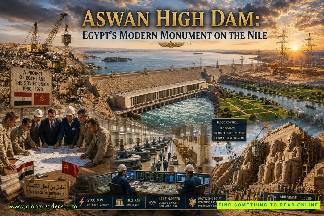 Aswan High Dam: Egypt's Modern Monument on the Nile
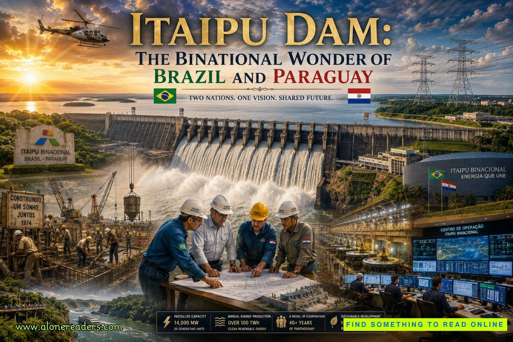 Itaipu Dam: The Binational Wonder of Brazil and Paraguay
 Tehri Dam: India's Tallest Dam and the Debate Behind It
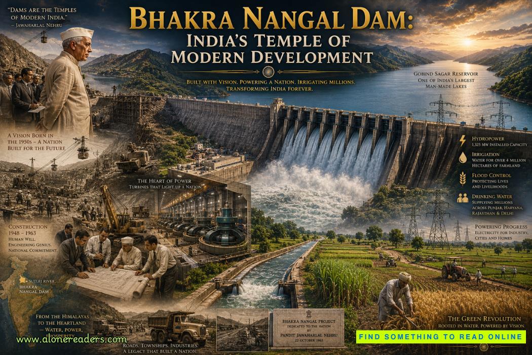 Bhakra Nangal Dam: India's Temple of Modern Development
 Germany's U-Boat Campaign: Submarine Warfare That Nearly Defeated Britain
 The Battle of Caporetto: Italy's Greatest Defeat in World War I
 The Battle of Passchendaele: The Third Battle of Ypres Explained
 Italy's Role in World War I: From Neutrality to Victory and Disillusionment
 The House of Plantagenet: Rise, Golden Age, and Fall of England's Longest-Reigning Feudal Dynasty
 The Rise and Fall of the Ptolemaic Dynasty: Cleopatra's Last Stand Explained
 The Macedonian Dynasty Explained: Alexander's Expansion and the Dissolution of His Empire