High in the Himalayan state of Uttarakhand, where steep mountains surround the narrow valley of the Bhagirathi River, stands one of India's most ambitious and debated engineering achievements. Tehri Dam is the tallest dam in India, rising approximately 260.5 meters above its foundation and holding back a vast reservoir amid some of the most geologically complex terrain on Earth. Designed to generate hydroelectric power, supply drinking water, support irrigation, and regulate river flows, the project represents the enormous possibilities of modern water engineering. Yet Tehri is equally famous for the controversy surrounding its construction. Questions about earthquake safety, environmental disruption, displacement, and the submergence of historic Tehri town transformed the dam into one of India's most important debates about the true cost of large-scale development.
The story begins with the Bhagirathi, one of the principal headstreams of the Ganges. Rising from the Gangotri Glacier, the river descends rapidly through Uttarakhand before meeting the Alaknanda at Devprayag, after which the combined river is known as the Ganges. Its steep gradient and powerful flow made the upper Bhagirathi exceptionally attractive for hydroelectric development. Engineers saw an opportunity to exploit the enormous difference in elevation between Himalayan valleys and the plains below, converting stored water into electricity while simultaneously creating a strategic water reserve.
Plans for a major dam near Tehri were discussed as early as the mid-twentieth century. Detailed investigations expanded during the 1960s and 1970s, when India was investing heavily in large multipurpose river projects. The proposed dam promised significant benefits: electricity for northern India's rapidly growing cities and industries, drinking water for urban populations, irrigation support for agriculture, and improved regulation of river flows. However, the enormous height of the planned structure and its location within the Himalayan seismic zone immediately made the project unusually challenging.
Construction eventually developed into what became the Tehri Hydropower Complex, rather than a single isolated dam. The system includes the main Tehri Dam, underground generating facilities, associated tunnels, the Koteshwar Dam downstream, and planned or developed pumped-storage components designed to improve electricity management. This integrated approach allows stored water to be used strategically for power generation while supporting broader water-management objectives.
The main structure is an earth-and-rock-fill embankment dam, a design fundamentally different from massive concrete gravity dams. Instead of relying upon a solid concrete wall, Tehri uses enormous quantities of compacted earth and rock arranged in carefully engineered zones. An impermeable central core limits water seepage, while surrounding rock-fill sections provide immense structural stability. This type of construction is particularly well suited to mountainous areas where huge quantities of suitable rock material are readily available.
At approximately 260.5 meters high, Tehri ranks among the tallest embankment dams in the world. The sheer dimensions are difficult to appreciate from photographs alone. Its broad base extends across the narrow Himalayan valley, while the enormous reservoir behind it reaches deep into former river valleys. Millions of cubic meters of rock and earth had to be excavated, transported, placed, and compacted according to precise engineering specifications. Every layer of material had to behave as part of a single enormous flexible structure capable of resisting both water pressure and seismic movement.
Earthquake engineering became perhaps the most scrutinized aspect of the entire project. The Himalayas were formed by the continuing collision of the Indian and Eurasian tectonic plates, making northern India one of the world's most seismically active regions. Critics questioned whether placing such a large reservoir behind such a high dam in this environment created an unacceptable hazard. Engineers responsible for the project argued that Tehri had been specifically designed to withstand very strong earthquakes using conservative seismic parameters, flexible embankment construction, extensive geological studies, and sophisticated monitoring systems.
Unlike rigid structures that may be more vulnerable to certain forms of cracking, properly designed earth-and-rock-fill dams can absorb substantial deformation. Engineers therefore considered the embankment design appropriate for the Himalayan setting. Geological investigations included deep drilling, fault mapping, rock testing, and analysis of regional earthquake history. Instrumentation installed throughout the structure measures movement, internal pressure, seepage, settlement, and other indicators continuously. The debate over Tehri's seismic safety became a defining example of the tension between engineering confidence and public concern over low-probability, high-consequence risks.
The project's hydroelectric function is equally impressive. Water stored in the Tehri Reservoir is directed through large tunnels and penstocks toward underground turbines. The initial Tehri hydroelectric station provides around 1,000 megawatts of generating capacity, while the wider complex substantially increases the site's potential through additional facilities, including pumped-storage generation. Pumped-storage technology allows water to be moved between reservoirs during periods of low electricity demand and released again during peak demand, effectively functioning as a gigantic energy-storage system.
This ability is increasingly valuable as electricity grids incorporate more variable renewable energy such as solar and wind. When surplus electricity exists, pumps can move water uphill. When demand rises, the stored water can be released through turbines to regenerate electricity rapidly. Tehri therefore has importance not only as a traditional hydropower project but also as part of India's evolving energy-storage infrastructure.
Drinking water supply represents another major benefit. Water stored within the reservoir contributes to supplies for densely populated areas in northern India, including the National Capital Region. For cities facing rapidly growing demand and seasonal water shortages, the ability to regulate and transfer large quantities of stored Himalayan water has substantial strategic importance. The project also contributes irrigation water intended to support agricultural production across parts of northern India.
Flood moderation is another function of the reservoir. Himalayan rivers can rise rapidly during extreme rainfall, cloudbursts, or exceptional snowmelt events. By storing part of incoming flows, a large reservoir can reduce downstream flood peaks under suitable operating conditions. Reservoir managers must constantly balance this function against electricity generation, water storage, and seasonal demand. Operating a multipurpose Himalayan reservoir requires continual compromise between competing objectives rather than maximizing any single benefit.
Yet the reservoir that created these benefits also produced the project's most visible human cost. The old town of Tehri, once situated near the confluence of the Bhagirathi and Bhilangna rivers, was eventually submerged as the reservoir filled. Numerous surrounding villages and agricultural areas were also affected. Tens of thousands of residents had to move, many to newly developed settlements such as New Tehri or to other resettlement areas.
For displaced families, relocation meant far more than losing a physical house. Communities lost ancestral land, neighborhood networks, familiar marketplaces, religious places, and landscapes connected with generations of memory. Compensation and resettlement programs attempted to address these losses, but controversy persisted over whether financial compensation could adequately replace social and cultural connections. The disappearance of old Tehri beneath the reservoir remains one of the strongest symbols of the social price paid for the project.
Environmental opposition also became deeply associated with Tehri Dam. Activists argued that major dams in fragile Himalayan ecosystems could destabilize slopes, affect forests, alter sediment movement, transform river ecology, and increase pressure on already vulnerable mountain landscapes. Among the project's most prominent opponents was environmental campaigner Sunderlal Bahuguna, widely associated with the Chipko movement. He protested against the dam for years, drawing national and international attention to its environmental and seismic implications.
The debate also carried cultural and spiritual dimensions. The Bhagirathi is not simply a hydrological resource; it forms part of the sacred Ganges river system, possessing profound religious importance for millions of people. Altering its natural flow raised concerns among groups who believed that engineering assessments could not fully capture the cultural value of a free-flowing sacred river. This made the dispute different from an ordinary disagreement over infrastructure economics.
Sedimentation presents another long-term concern. Himalayan rivers carry significant quantities of eroded material because the mountains are geologically young, steep, and vulnerable to landslides. When a river enters a reservoir, its velocity decreases and sediment begins settling. Gradual sediment accumulation can reduce storage capacity and influence long-term reservoir performance. Engineers therefore monitor deposition patterns and use hydrological modeling to estimate how the reservoir may evolve over decades.
Slope stability around the reservoir is also closely watched. Filling and lowering a large mountain reservoir changes groundwater pressure within surrounding slopes. In steep terrain, these fluctuations can contribute to erosion or localized instability where geological conditions are unfavorable. Monitoring programs therefore examine shoreline behavior, landslide-prone areas, rainfall conditions, and reservoir levels to identify developing risks.
Climate change adds another layer of complexity. Himalayan hydrology depends upon a combination of monsoon rainfall, snowfall, and glacier behavior. Rising temperatures and changes in precipitation may alter the timing and intensity of river flows. Extreme rainfall events can also create sudden inflows and landslide hazards. The future performance of Tehri Dam will increasingly depend upon adaptive reservoir management informed by improved forecasting and climate science.
Despite decades of controversy, the project has delivered substantial infrastructure benefits. Its electricity contributes to northern India's power system, while stored water supports urban supply and irrigation. The reservoir has also transformed the local economy in unexpected ways. Tehri Lake has become a growing tourism destination offering boating, water sports, scenic viewpoints, and hospitality businesses. New roads and development around the reservoir have created economic opportunities that did not exist before the dam.
Modern dam safety management plays an essential role in Tehri's operation. Engineers use instrumentation networks, remote monitoring, structural inspections, hydrological forecasts, and seismic data to assess performance continuously. Emergency planning and reservoir operating procedures are periodically reviewed as scientific understanding and technology improve. For a structure of Tehri's height and strategic importance, safety is not a one-time design calculation but a permanent operational responsibility.
Tehri Dam therefore resists simple classification as either an engineering triumph or an environmental mistake. It is both a remarkable technical accomplishment and a case study in the profound consequences that accompany megaprojects. It demonstrates that engineering can store enormous quantities of water, generate renewable electricity, and reshape regional infrastructure, but it also shows that these benefits may involve displacement, ecological change, cultural loss, and enduring questions about risk.
Among the World's Greatest Dams, Tehri deserves attention precisely because its story extends beyond records and dimensions. India's tallest dam represents the central dilemma of modern infrastructure: how much transformation should society accept in exchange for energy, water security, and economic development? Its towering embankment across the Bhagirathi embodies exceptional engineering capability, while the submerged town beneath its reservoir ensures that the human consequences of that achievement are never entirely invisible.
Ultimately, the significance of Tehri Dam lies in this dual legacy. It is simultaneously a powerhouse, a strategic reservoir, an engineering laboratory, and a continuing debate about development in one of Earth's most fragile mountain environments. Understanding Tehri therefore requires appreciating not only how the dam was built and what it provides, but also why its construction forced India to confront difficult questions about safety, environment, culture, displacement, and the meaning of progress itself.

October 25, 2023

January 02, 2025


 Stirling Castle: Gateway to the Scottish Highlands – Scotland's Historic Fortress of Kings and Battles
 Edinburgh Castle: Scotland's Legendary Fortress That Shaped a Nation
 Harlech Castle: The Fortress That Inspired a Famous Song and Defied Medieval Sieges
 Grand Ethiopian Renaissance Dam (GERD): Africa's Most Controversial Megadam
 Aswan High Dam: Egypt's Modern Monument on the Nile
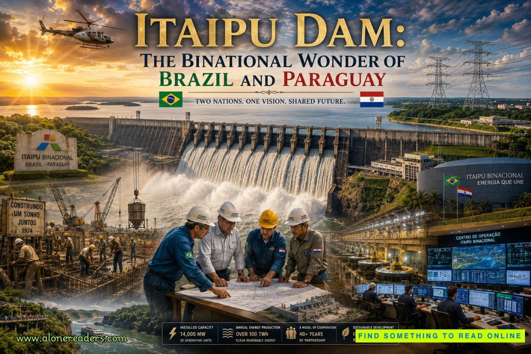 Itaipu Dam: The Binational Wonder of Brazil and Paraguay
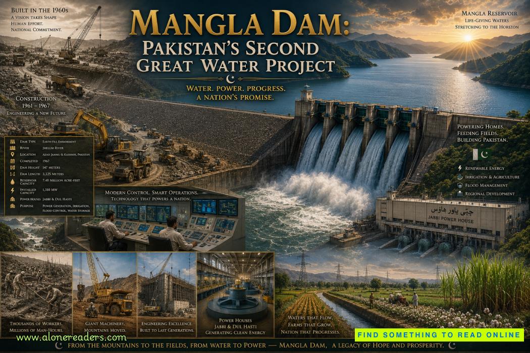 Mangla Dam: Pakistan's Second Great Water Project
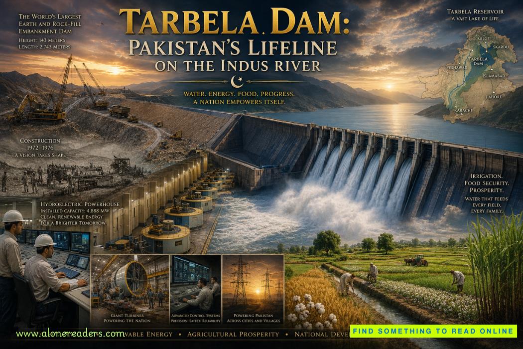 Tarbela Dam: Pakistan's Lifeline on the Indus River
 Germany's U-Boat Campaign: Submarine Warfare That Nearly Defeated Britain
 The Battle of Caporetto: Italy's Greatest Defeat in World War I
 The Battle of Passchendaele: The Third Battle of Ypres Explained
 Italy's Role in World War I: From Neutrality to Victory and Disillusionment
 The House of Plantagenet: Rise, Golden Age, and Fall of England's Longest-Reigning Feudal Dynasty
 The Rise and Fall of the Ptolemaic Dynasty: Cleopatra's Last Stand Explained
 The Macedonian Dynasty Explained: Alexander's Expansion and the Dissolution of His Empire