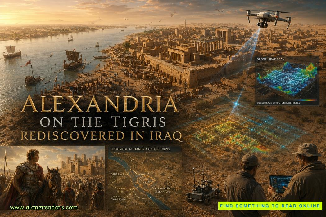
Alexandria on the Tigris did not collapse in fire or fade in war—it simply slipped out of sight when the river that sustained it changed course. What was once a thriving hub of commerce became an absence, a blank space in both geography and memory. Yet beneath Iraq’s sediment-heavy plains, the city never truly disappeared. It waited.
Within the first hundred words of its story lies a paradox: Alexandria on the Tigris, one of the most strategically positioned cities of the ancient world, became one of its most elusive lost cities.
Key Takeaways
A vanishing act shaped by geography
Unlike cities destroyed by conquest, Alexandria on the Tigris was undone by environmental transformation. The Tigris and Euphrates rivers are dynamic systems, constantly shifting their channels through sediment deposition. Over decades or centuries, a thriving riverside city can find itself stranded inland—or submerged under layers of silt.
In southern Iraq, this process is especially intense. The region sits on a deltaic plain where rivers braid, split, and reform. When Alexandria’s access to navigable water declined, its economic lifeline was severed. Trade slowed, populations migrated, and the city’s structures were gradually buried.
Why maps forgot what the ground preserved
Ancient cartography depended on active trade routes. Once a city stopped functioning as a node, it stopped appearing in written records. Alexandria on the Tigris did not vanish physically overnight—it vanished conceptually first. The ground, however, retained its gridlines, foundations, and harbor traces beneath accumulating sediment.
Strategic placement, not symbolic ambition
Alexander the Great founded multiple cities named Alexandria, but this one was not merely commemorative. Alexandria on the Tigris occupied a critical junction: near where river systems met the Persian Gulf. It was a logistical masterpiece.
From this location, goods could flow:
This positioning made it an early example of a multimodal trade hub—long before such terminology existed.
Military foothold turned economic engine
Initially, the city likely served as a military outpost to secure newly conquered territories. But its geography quickly transformed it into a commercial center. Soldiers gave way to merchants, shipbuilders, and administrators. Over time, the city’s identity shifted from imperial control to economic exchange.
Evolution rather than replacement
Historical records introduce another name: Charax Spasinou. Many scholars believe this city either replaced or expanded upon Alexandria on the Tigris. Rather than a sudden abandonment followed by a new foundation, the transition may have been gradual.
Charax Spasinou became a major ancient trade city under the Seleucid and later Parthian empires. It thrived at the head of the Persian Gulf, acting as a customs hub and redistribution center.
A trade powerhouse in the ancient world
Charax Spasinou connected:
For example, a shipment of spices from India could arrive by sea, be taxed and cataloged at Charax, then transported inland toward cities like Babylon or Seleucia. This integration of land and sea trade made the region indispensable.
Why traditional archaeology fell short
Excavating southern Iraq is uniquely challenging. Thick sediment layers, high water tables, and modern development obscure ancient remains. For decades, locating Alexandria on the Tigris remained speculative.
Drone imagery and geophysical breakthroughs
The turning point came with non-invasive technologies:
These tools allowed researchers to “see” the city without digging. Patterns emerged: rectilinear layouts, harbor-like formations, and defensive structures consistent with Hellenistic urban planning.
Reading the invisible city
One of the most striking discoveries was the scale. What appeared as empty terrain revealed itself as a sprawling urban footprint when viewed through geophysical data. Roads, storage areas, and water management systems became visible as variations in soil density.
This method represents a shift in archaeology—from excavation-based discovery to data-driven reconstruction.
Linking three worlds: Gulf, Ocean, Silk Road
Alexandria on the Tigris—and later Charax Spasinou—sat at a convergence point of three major trade systems:
This positioning enabled goods to move across continents with relative efficiency.
A real-world trade scenario
Consider a merchant in ancient India exporting pepper. The journey might unfold as follows:
At each stage, the city functioned as a checkpoint, marketplace, and logistical hub.
Economic resilience and vulnerability
The same geography that made the city powerful also made it fragile. Its dependence on waterways meant that environmental changes could disrupt entire trade systems. When the river shifted, the network fractured.
“The city was destroyed by war”
There is no strong evidence of catastrophic destruction. Its decline was gradual and tied to environmental change rather than military conflict.
“It was a minor settlement”
Geophysical evidence suggests a large, organized urban center. Its role in trade networks indicates significant economic importance.
“It is fully rediscovered and excavated”
The site remains largely unexcavated. Current understanding relies heavily on remote sensing rather than physical exposure.
The illusion of absence
Ancient cities like Alexandria on the Tigris challenge a common assumption: that disappearance equals destruction. In reality, many cities are preserved precisely because they were buried. Sediment acts as a protective layer, shielding structures from erosion and human interference.
Maps versus memory
A city exists in three layers:
Alexandria on the Tigris lost the latter two long before the first. Its rediscovery is less about finding something new and more about reinterpreting what was always there.
A broader implication for lost cities in Iraq
Iraq’s landscape is rich with buried urban histories. The same river dynamics that erased Alexandria on the Tigris likely conceal other cities. With advancing technology, the concept of a “lost city” is shifting—from mystery to recoverable data.
Alexandria on the Tigris stands as a reminder that geography shapes history as much as human ambition does. Founded by one of history’s most ambitious figures, transformed into a vital trade hub, and then quietly buried by shifting rivers, the city embodies both the reach and limits of ancient urbanism.
Its rediscovery is not just about identifying a location on a map. It is about understanding how civilizations interact with their environments—and how those environments, in turn, decide what is remembered and what is hidden.
The city never truly disappeared. It simply waited for the right tools—and the right questions—to bring it back into view.
What is Alexandria on the Tigris?
Alexandria on the Tigris was an ancient city believed to be founded by Alexander the Great near the Tigris River, later associated with Charax Spasinou.
Where was Alexandria on the Tigris located?
It was located in southern Iraq near the head of the Persian Gulf, strategically positioned for trade.
How was the lost city in Iraq discovered?
Researchers used drone imagery, satellite data, and geophysical surveys to identify buried structures.
Is Alexandria on the Tigris the same as Charax Spasinou?
Many scholars believe Charax Spasinou developed from or replaced Alexandria on the Tigris.
Why did Alexandria on the Tigris disappear?
Shifting river channels, sedimentation, and changing trade routes caused the city to vanish from maps.

October 25, 2023

January 02, 2025
 Tsunami Stones of the Deep: Reading the Seafloor's Geological Memory
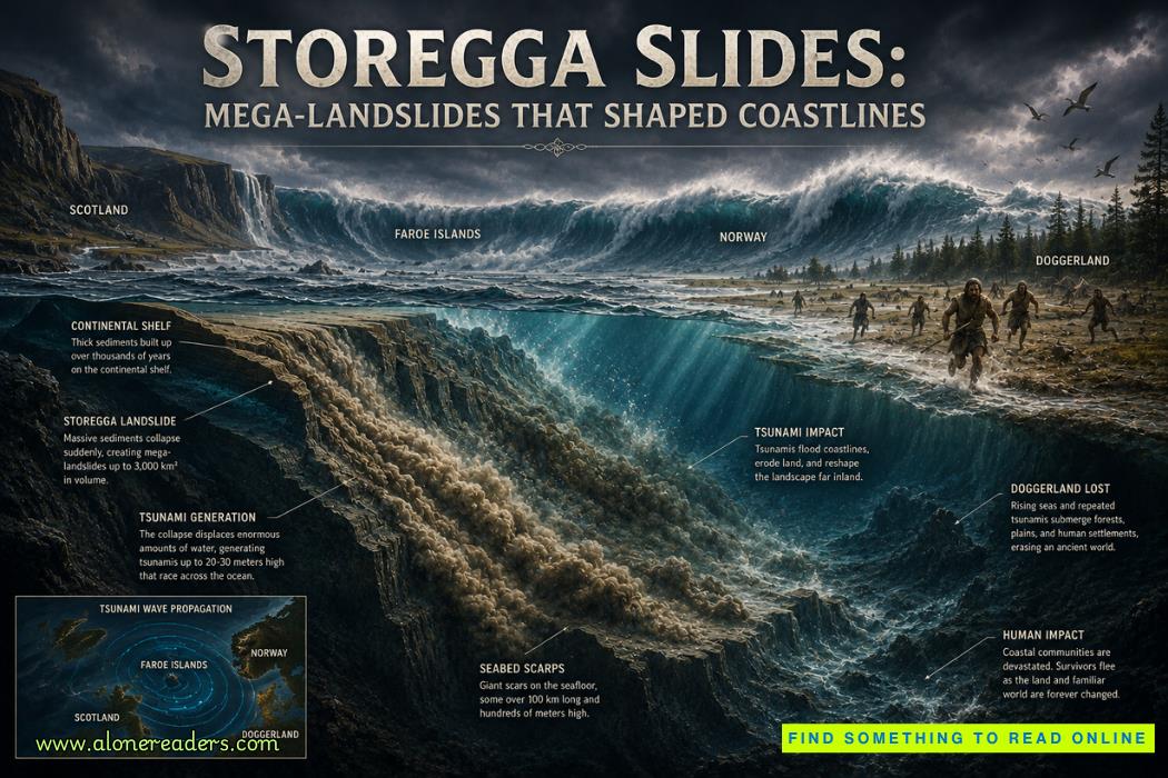 Storegga Slides: Mega-Landslides That Shaped Coastlines and Changed Prehistoric Europe
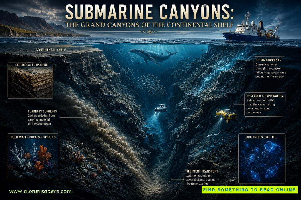 Submarine Canyons: The Grand Canyons of the Continental Shelf and Their Hidden Ocean Worlds
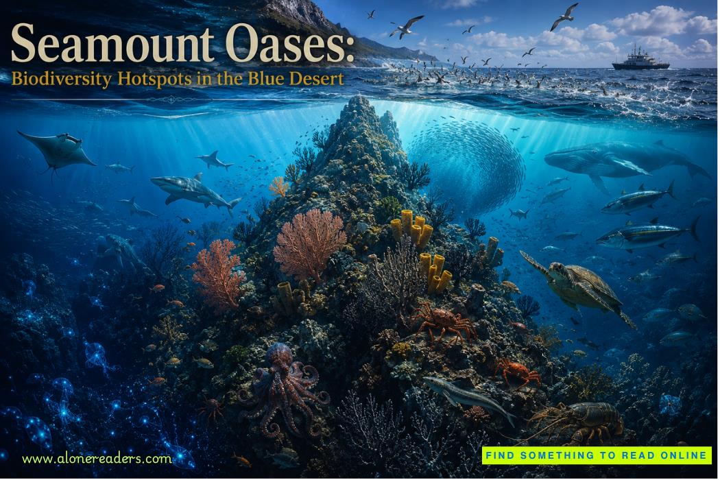 Seamount Oases: Biodiversity Hotspots in the Blue Desert | Hidden Mountains of the Deep Ocean
 Jeddah Light: One of the Tallest Modern Lighthouses in the World and a Gateway to the Red Sea
 Inisheer Lighthouse: Ireland's Quiet Island Beacon Guarding the Edge of the Atlantic
 The Abu Ghraib Scandal, Iraq, 2004: A Human Rights Disaster That Shook the World
 The Disbanding of the CNRP, Cambodia, 2017: Hun Sen's Clampdown on Democracy and the Reshaping of Cambodian Politics
 The Firing of James Comey, United States, 2017: Trump's Controversial Decision Amid FBI Investigation
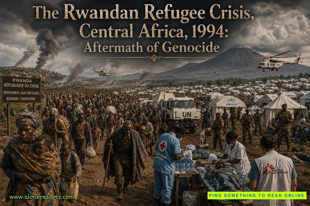 The Rwandan Refugee Crisis, Central Africa, 1994: Aftermath of Genocide and the Humanitarian Catastrophe
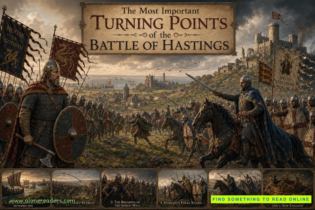 The Most Important Turning Points of the Battle of Hastings (1066)
 Why William Won the Battle of Hastings and Harold Lost: Strategy, Leadership and Fate in 1066
 How King Harold II Died: Facts, Myths, and Historical Debate
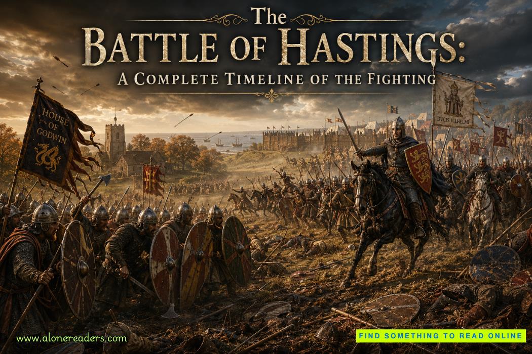 The Battle of Hastings: A Complete Timeline of the Fighting
 High-End Talent Category A Work Permit China 2026: Complete Eligibility, Benefits, Application Process, and Expert Guide
 Cultural Activities Visa Japan 2026 Guide: Complete Eligibility, Requirements, Application Process, and Expert Tips